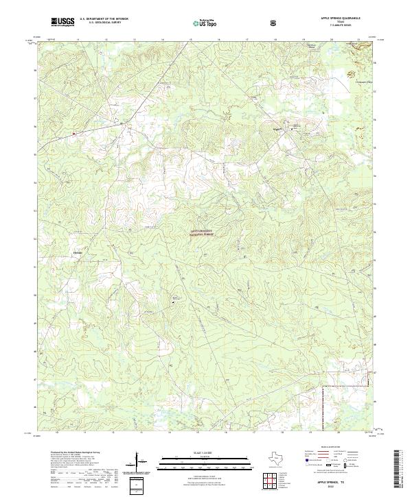
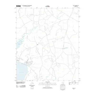
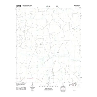
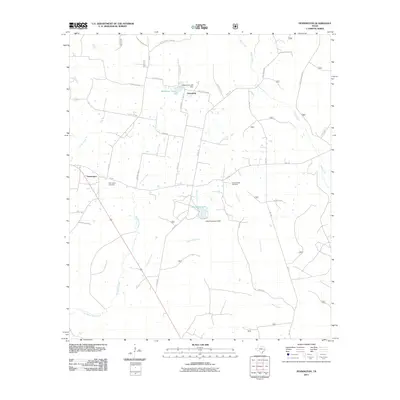
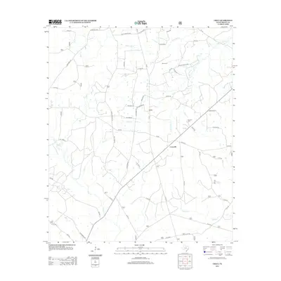
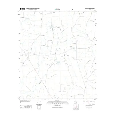
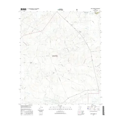
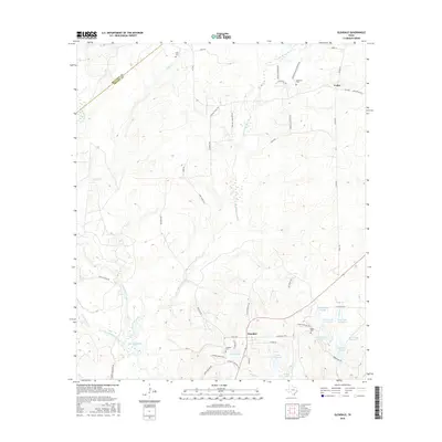
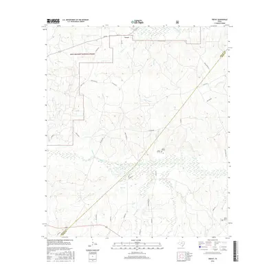
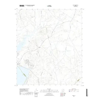
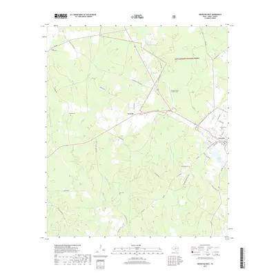
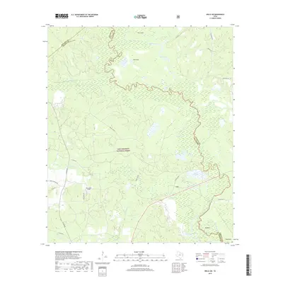
2022 Map of Apple Springs
USGS Topo · Published 2022About this map
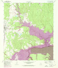
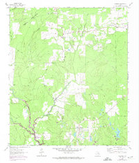
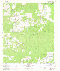
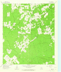
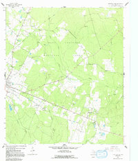
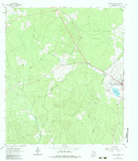
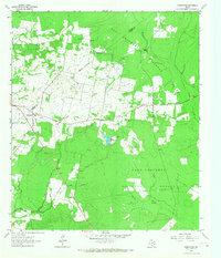
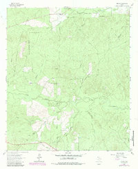
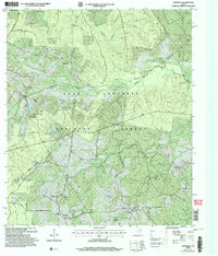
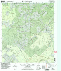
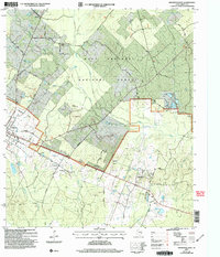
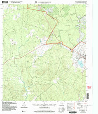
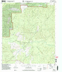
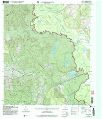
Davy Crockett National Forest dominates this section of eastern Texas, where a complex network of forest roads and creek drainage systems defines the landscape. The settlement of Apple Springs sits at the intersection of several local routes, including FM 357 and Graham Rd, while to the east, the community of Nigton is marked by the Nigton Memorial Park. The topography is shaped by numerous watercourses like White Br, Hackberry Cr, and Alabama Cr, which wind through the timbered terrain toward the northern boundary along Viney Bend and Old River Island.
Find a feature on this map
54 named features on this map. Tap any name to fly to it.
Don’t see what you’re looking for? This feature index may not catch every label — zoom into the map to look around manually.
Map Details
Editions of this 2022 Apple Springs Map
This is the sole edition of this map. No revisions or reprints were ever made.
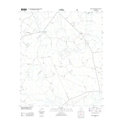
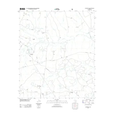
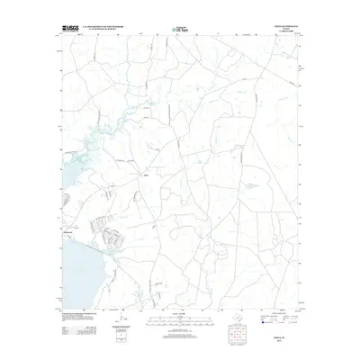
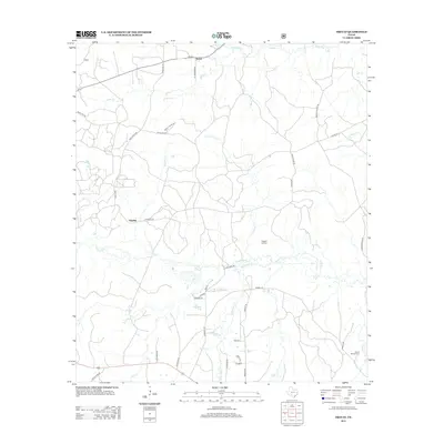
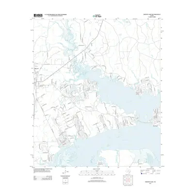
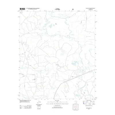
Historical Maps of Apple Springs Through Time
72 maps found
1950 Centralia
Trinity County, TX
1951 Centralia
Trinity County, TX
1951 Wells SW
Trinity County, TX
1960 Trinity East
Trinity County, TX
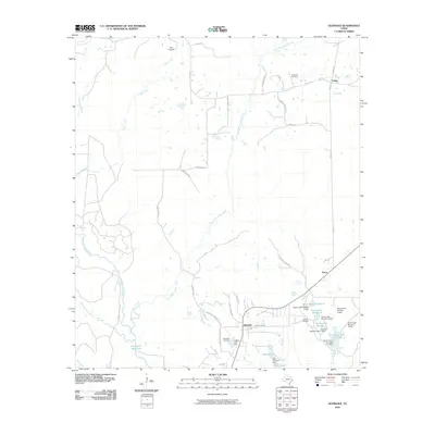
1962 Glendale
Trinity County, TX
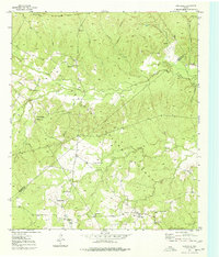
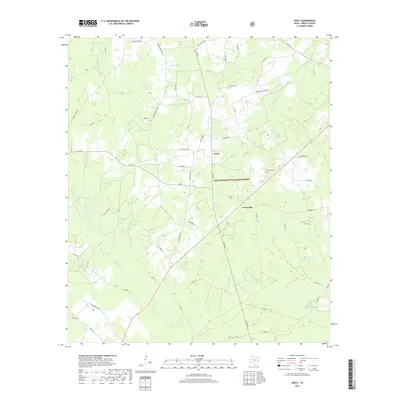
1963 Apple Springs
Trinity County, TX
1963 Crecy
Trinity County, TX
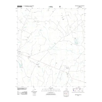
1963 Groveton East
Trinity County, TX
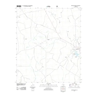
1963 Groveton West
Trinity County, TX
1963 Pennington
Trinity County, TX
1963 Trevat
Trinity County, TX
2004 Centralia
Trinity County, TX
2004 Crecy
Trinity County, TX
2004 Groveton East
Trinity County, TX
2004 Groveton West
Trinity County, TX
2004 Trevat
Trinity County, TX
2004 Wells SW
Trinity County, TX
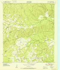
2010 Apple Springs
Trinity County, TX
2010 Centralia
Trinity County, TX
2010 Chita
Trinity County, TX
2010 Glendale
Trinity County, TX
2010 Groveton East
Trinity County, TX
2010 Groveton West
Trinity County, TX
2010 Trevat
Trinity County, TX
2010 Trinity East
Trinity County, TX
2010 Wells SW
Trinity County, TX
2011 Crecy
Trinity County, TX
2011 Pennington
Trinity County, TX
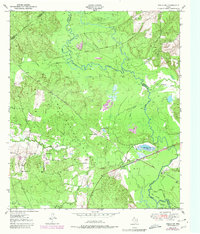
2013 Apple Springs
Trinity County, TX
2013 Centralia
Trinity County, TX
2013 Chita
Trinity County, TX
2013 Crecy
Trinity County, TX
2013 Glendale
Trinity County, TX
2013 Groveton East
Trinity County, TX
2013 Groveton West
Trinity County, TX
2013 Pennington
Trinity County, TX
2013 Trevat
Trinity County, TX
2013 Trinity East
Trinity County, TX
2013 Wells SW
Trinity County, TX
2016 Apple Springs
Trinity County, TX
2016 Centralia
Trinity County, TX
2016 Chita
Trinity County, TX
2016 Crecy
Trinity County, TX
2016 Glendale
Trinity County, TX
2016 Groveton East
Trinity County, TX
2016 Groveton West
Trinity County, TX
2016 Pennington
Trinity County, TX
2016 Trevat
Trinity County, TX
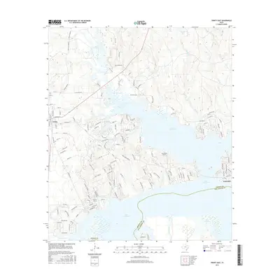
2016 Trinity East
Trinity County, TX
2016 Wells SW
Trinity County, TX

2019 Apple Springs
Trinity County, TX
2019 Centralia
Trinity County, TX
2019 Chita
Trinity County, TX
2019 Crecy
Trinity County, TX
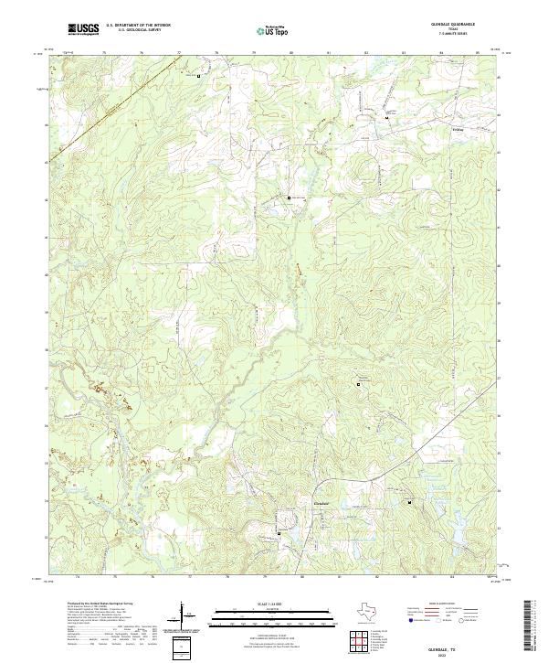
2019 Glendale
Trinity County, TX
2019 Groveton East
Trinity County, TX
2019 Groveton West
Trinity County, TX
2019 Pennington
Trinity County, TX
2019 Trevat
Trinity County, TX
2019 Trinity East
Trinity County, TX
2019 Wells SW
Trinity County, TX
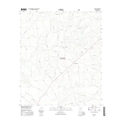
2022 Apple Springs
Trinity County, TX
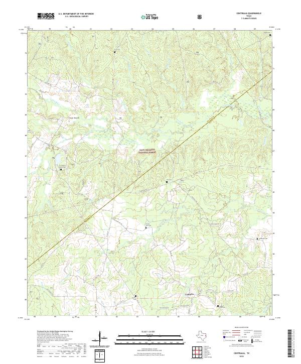
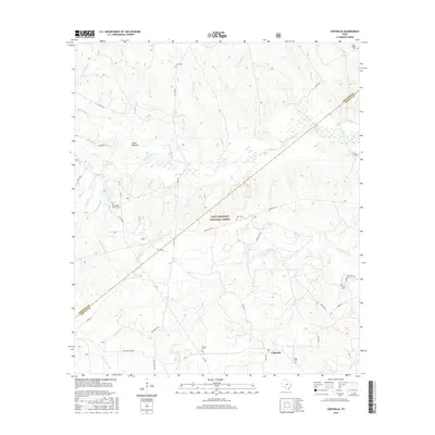
2022 Centralia
Trinity County, TX
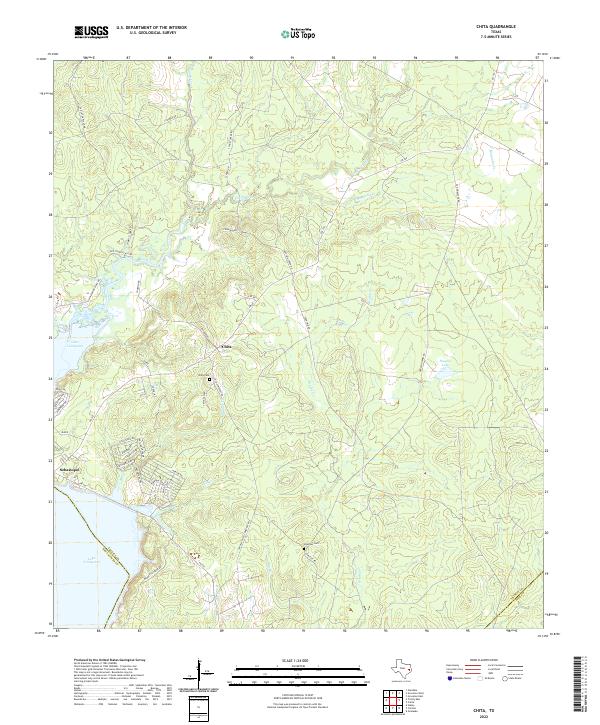
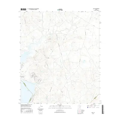
2022 Chita
Trinity County, TX
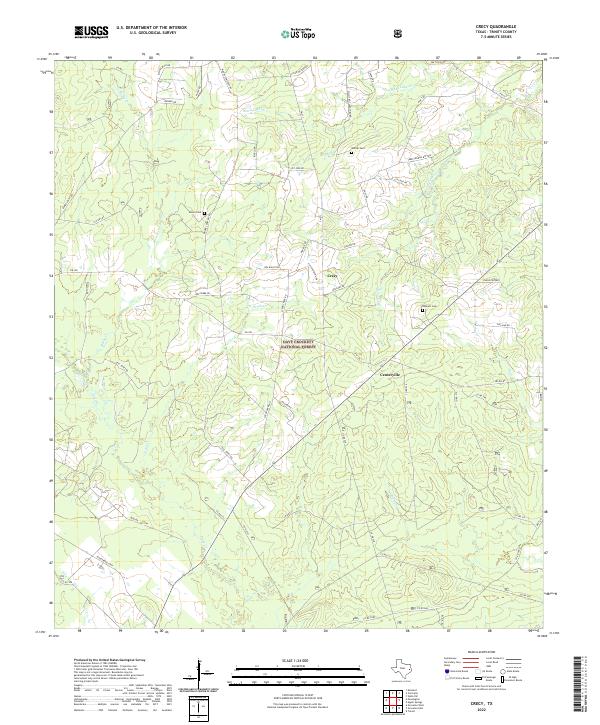
2022 Crecy
Trinity County, TX
2022 Glendale
Trinity County, TX
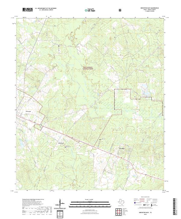
2022 Groveton East
Trinity County, TX
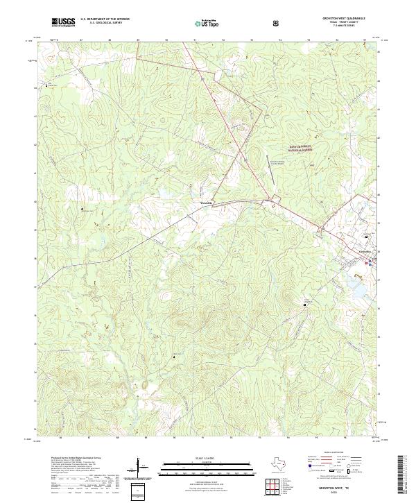
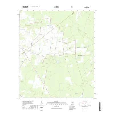
2022 Groveton West
Trinity County, TX
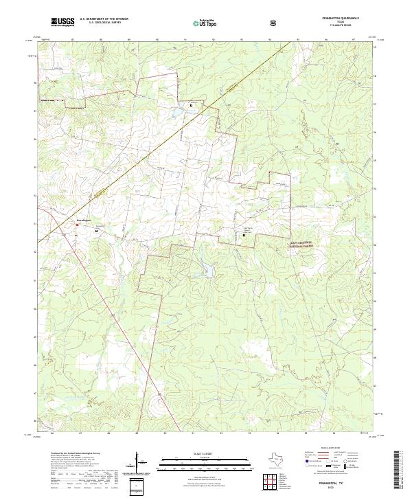
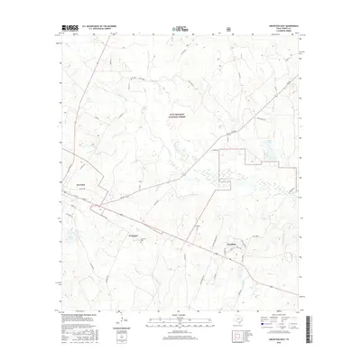
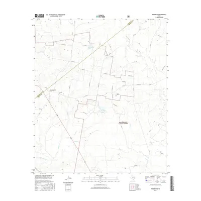
2022 Pennington
Trinity County, TX
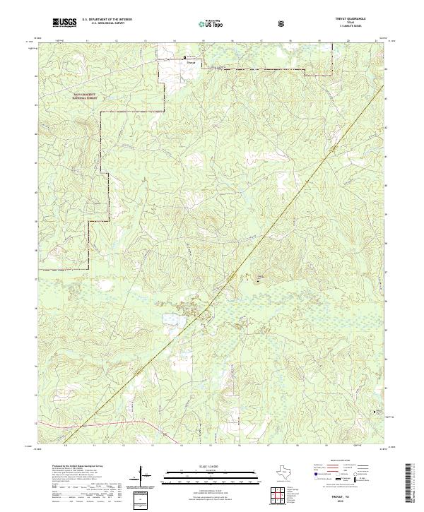
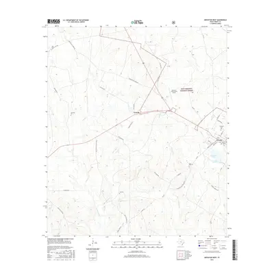
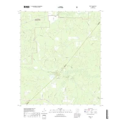
2022 Trevat
Trinity County, TX
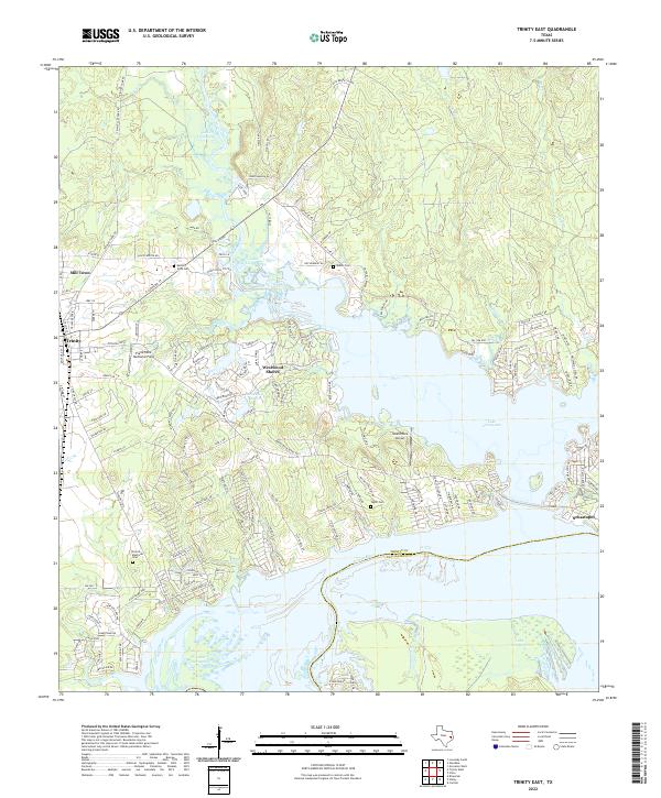
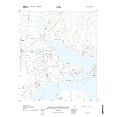
2022 Trinity East
Trinity County, TX
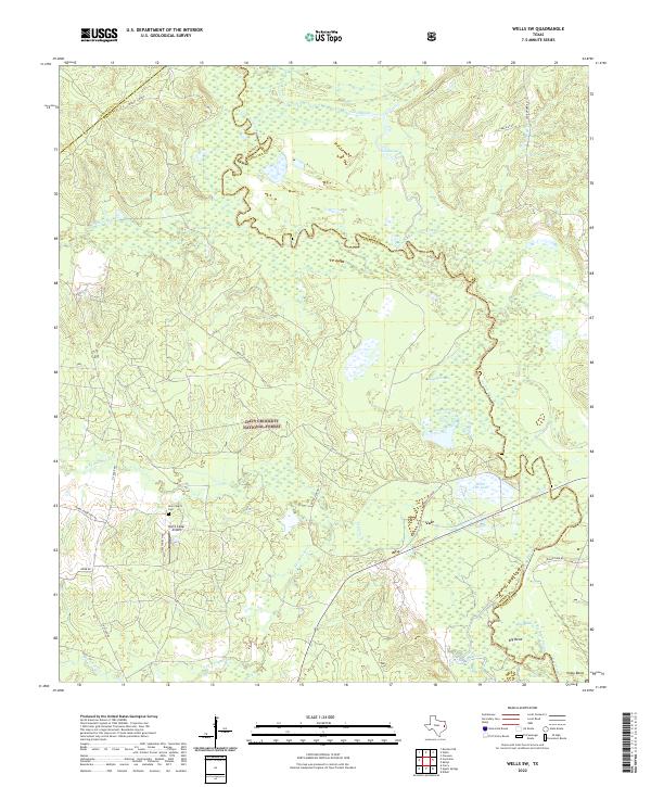
2022 Wells SW
Trinity County, TX