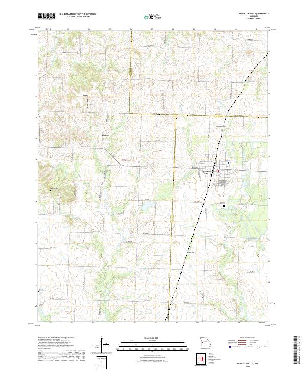
2021 Map of Appleton City
USGS Topo · Published 2021About this map
Appleton City stands as the primary hub in this West-Central Missouri landscape, where the borders of St. Clair, Bates, and Henry counties converge. The town's grid is detailed with residential streets such as W 4th St and E Burbank St, surrounded by a pastoral network of rural routes and farmsteads. Smaller settlements and historically significant locales like Hudson and Lindale dot the periphery, providing a look at the distribution of community centers across the prairie.
Find a feature on this map
50 named features on this map. Tap any name to fly to it.
Don’t see what you’re looking for? This feature index may not catch every label — zoom into the map to look around manually.
Map Details
Editions of this 2021 Appleton City Map
This is the sole edition of this map. No revisions or reprints were ever made.
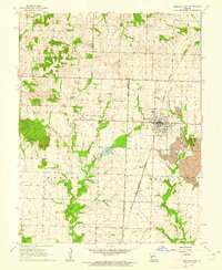
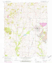
Historical Maps of Appleton City Through Time
3 maps found