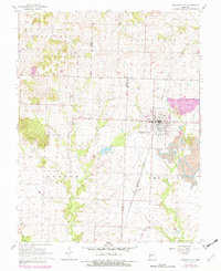
1981 Map of Appleton City
USGS Topo · Published 1982About this map
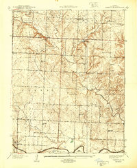
Appleton City serves as the primary hub of this west-central Missouri landscape, where the Missouri Kansas Texas railroad line runs north to south through the heart of the settlement. The 1981 photorevisions reveal a landscape shaped by local industry and community life, with several Strip Mine operations and associated Tailings visible on the eastern periphery. The surrounding rural townships, including Hudson and Deepwater, are dotted with local landmarks such as Mt Hope Community Center and the Hudson Sch.
Find a feature on this map
26 named features on this map. Tap any name to fly to it.
Don’t see what you’re looking for? This feature index may not catch every label — zoom into the map to look around manually.
Map Details
Editions of this 1981 Appleton City Map
This is the sole edition of this map. No revisions or reprints were ever made.
Other maps of this area

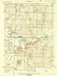
1887 · Clinton
USGS Topo · 1:125,000

1887 · Butler
USGS Topo · 1:125,000

1894 · Butler
USGS Topo · 1:125,000

1894 · Clinton
USGS Topo · 1:125,000
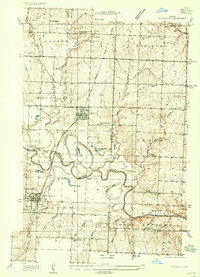
1934 · Papinsville
USGS Topo · 1:24,000
1934 · Rockville
USGS Topo · 1:24,000
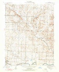
1938 · Taberville
USGS Topo · 1:24,000
1940 · Taberville
USGS Topo · 1:24,000

1947 · Jefferson City
USGS Topo · 1:250,000

1947 · Lawrence
USGS Topo · 1:250,000