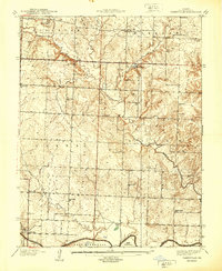
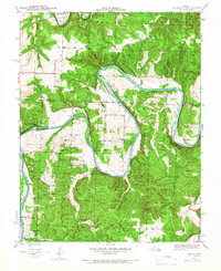
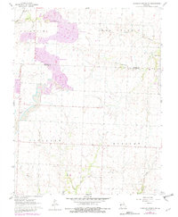
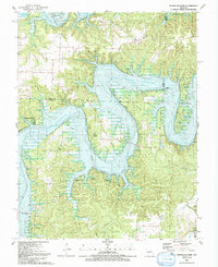
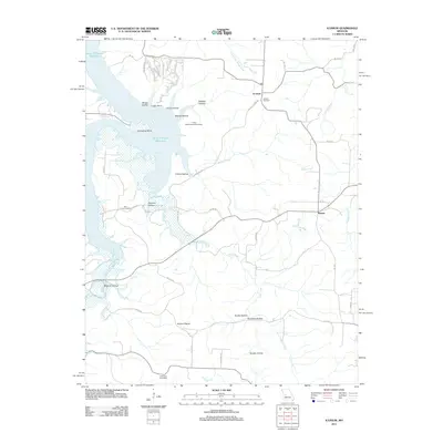
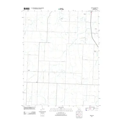
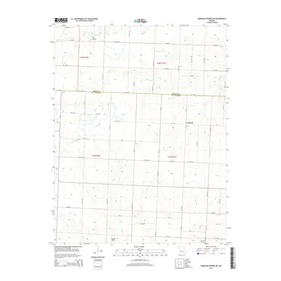
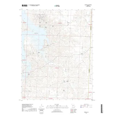
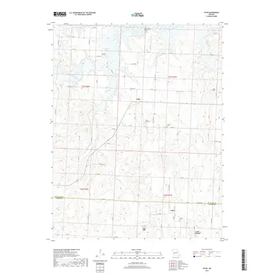
1940 Map of Taberville
USGS Topo · Published 1940About this map
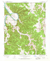
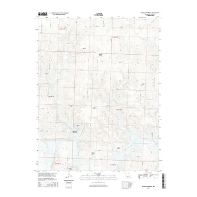
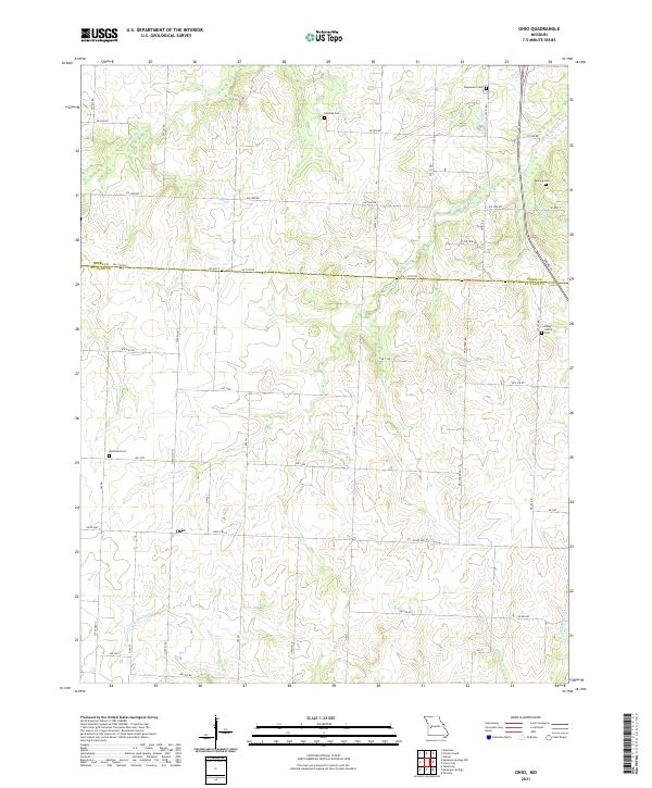
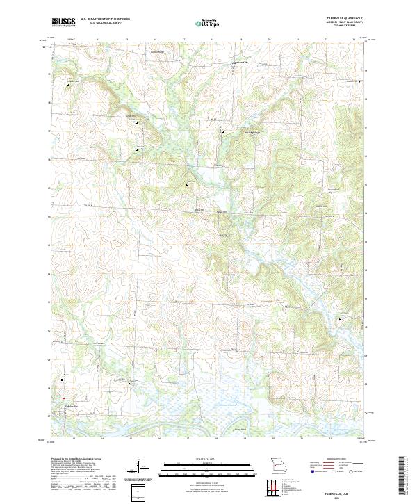
The Osage River meanders across the southern border of this landscape, anchoring a rural community defined by scattered family farms and small coal operations. In the decade preceding 1940, the area supported numerous local institutions, including the Spring Grove Sch and Rich Valley Sch, which served families across the Appleton and Monegaw townships. The map documents the localized mining industry through sites like Gray's Mine and Old Short Mine, while the density of burial grounds such as Daller Cem and Ridgeway Cem provides a rich resource for genealogical research. Prominent high points like Blue Mound and Golden Ridge overlook the valley of Monegan Creek, illustrating the natural topography that dictated the placement of early roads like West Speedwell and the small settlement of Taberville.
Find a feature on this map
44 named features on this map. Tap any name to fly to it.
Don’t see what you’re looking for? This feature index may not catch every label — zoom into the map to look around manually.
Map Details
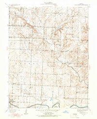
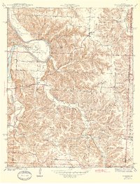
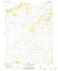
Editions of this 1940 Taberville Map
This is the sole edition of this map. No revisions or reprints were ever made.
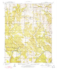
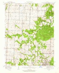
Historical Maps of Iuka Springs Through Time
54 maps found

1937 Tiffin
St. Clair County, MO
1938 Monegaw Springs
St. Clair County, MO
1938 Taberville
St. Clair County, MO
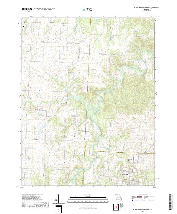
1939 Eldorado Springs North
St. Clair County, MO
1940 Iconium
St. Clair County, MO
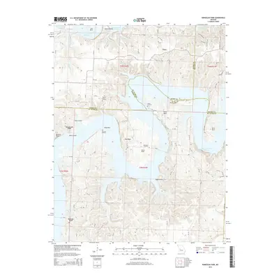
1940 Monegaw Springs
St. Clair County, MO
1940 Taberville
St. Clair County, MO
1941 Eldorado Springs North
St. Clair County, MO
1941 Tiffin
St. Clair County, MO
1941 Valhalla
St. Clair County, MO
1944 Iconium
St. Clair County, MO

1945 Valhalla
St. Clair County, MO
1949 Tiffin
St. Clair County, MO
1955 Taberville
St. Clair County, MO
1960 Monegaw Springs NW
St. Clair County, MO
1961 Ohio
St. Clair County, MO
1991 El Dorado Springs North
St. Clair County, MO

1991 Iconium
St. Clair County, MO
1991 Monegaw Springs
St. Clair County, MO
1991 Ninnescah Park
St. Clair County, MO
1991 Taberville
St. Clair County, MO
1991 Tiffin
St. Clair County, MO
2011 El Dorado Springs North
St. Clair County, MO
2011 Iconium
St. Clair County, MO
2011 Monegaw Springs NW
St. Clair County, MO
2011 Monegaw Springs
St. Clair County, MO
2011 Ninnescah Park
St. Clair County, MO
2011 Ohio
St. Clair County, MO
2011 Taberville
St. Clair County, MO
2011 Tiffin
St. Clair County, MO
2014 Iconium
St. Clair County, MO
2014 Monegaw Springs NW
St. Clair County, MO
2014 Ninnescah Park
St. Clair County, MO
2014 Ohio
St. Clair County, MO
2015 El Dorado Springs North
St. Clair County, MO
2015 Monegaw Springs
St. Clair County, MO
2015 Taberville
St. Clair County, MO
2015 Tiffin
St. Clair County, MO
2017 El Dorado Springs North
St. Clair County, MO
2017 Iconium
St. Clair County, MO
2017 Monegaw Springs NW
St. Clair County, MO
2017 Monegaw Springs
St. Clair County, MO
2017 Ninnescah Park
St. Clair County, MO
2017 Ohio
St. Clair County, MO
2017 Taberville
St. Clair County, MO
2017 Tiffin
St. Clair County, MO
2021 El Dorado Springs North
St. Clair County, MO
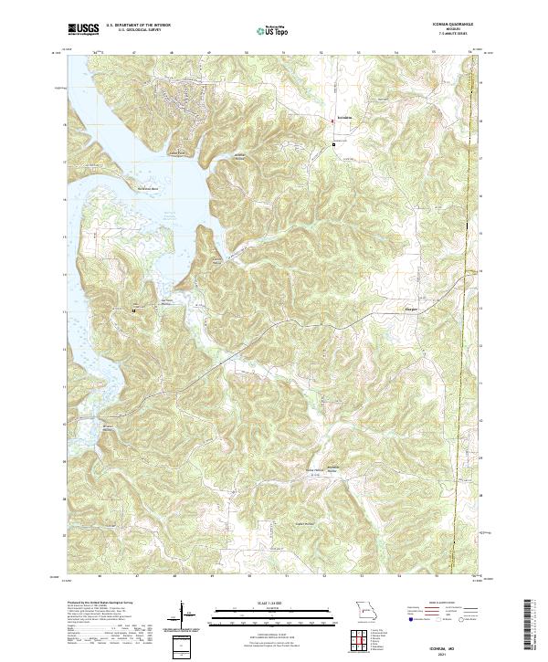
2021 Iconium
St. Clair County, MO
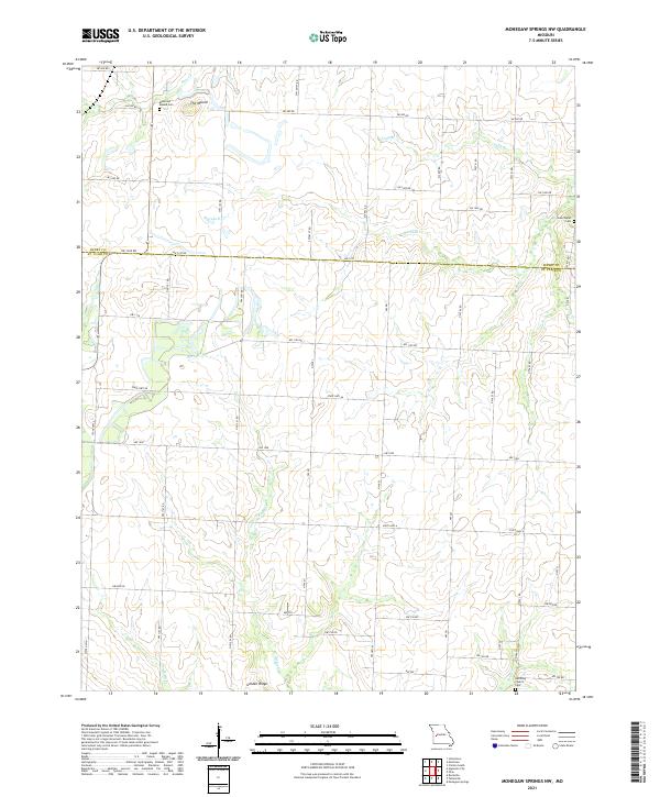
2021 Monegaw Springs NW
St. Clair County, MO
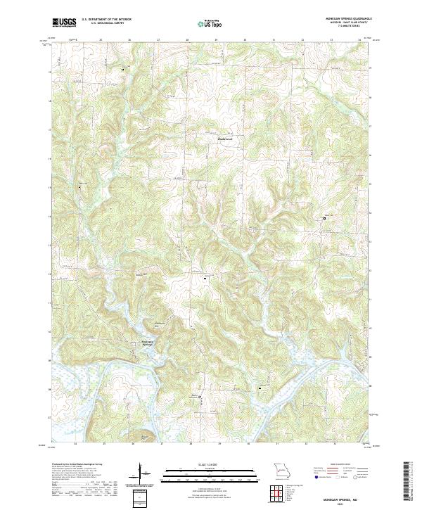
2021 Monegaw Springs
St. Clair County, MO
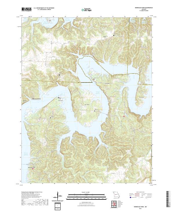
2021 Ninnescah Park
St. Clair County, MO
2021 Ohio
St. Clair County, MO
2021 Taberville
St. Clair County, MO
2021 Tiffin
St. Clair County, MO