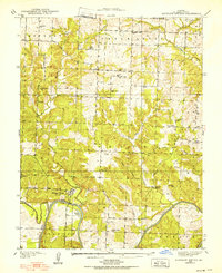
1938 Map of Monegaw Springs
USGS Topo · Published 1938About this map
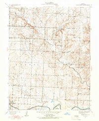
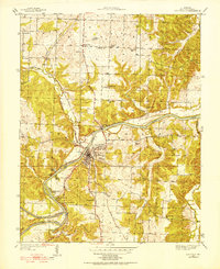
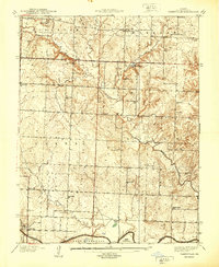
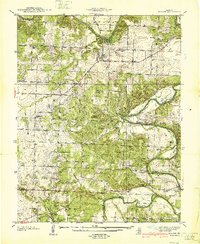
Monegaw Springs serves as a focal point along the sweeping southern bend of the Osage River in this 1930s survey. The landscape is characterized by a dense network of rural schools and family-named landmarks, reflecting a well-established community of farmsteads before the modern consolidation of local districts. Educational centers like Washington Sch, Pleasant Valley Sch, and Red Rock Sch are spaced across the hills, while religious life is anchored by Kidds Chapel and Cooks Chapel.
Find a feature on this map
41 named features on this map. Tap any name to fly to it.
Don’t see what you’re looking for? This feature index may not catch every label — zoom into the map to look around manually.
Map Details
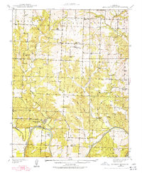
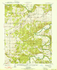
Editions of this 1938 Monegaw Springs Map
2 editions found
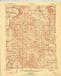
Other maps of this area

1886 · Stockton
USGS Topo · 1:125,000

1887 · Clinton
USGS Topo · 1:125,000

1894 · Clinton
USGS Topo · 1:125,000

1937 · Tiffin
USGS Topo · 1:31,680
1938 · Roscoe
USGS Topo · 1:24,000
1938 · Vista
USGS Topo · 1:24,000
1938 · Taberville
USGS Topo · 1:24,000
1939 · Osceola
USGS Topo · 1:24,000
1940 · Taberville
USGS Topo · 1:24,000
1940 · Roscoe
USGS Topo · 1:24,000