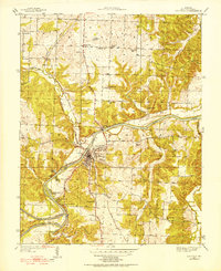
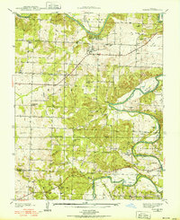
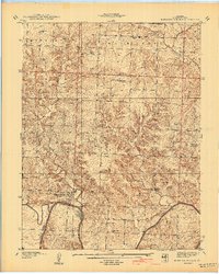
1939 Map of Osceola
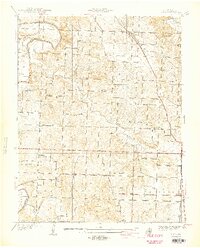
USGS Topo · Published 1952About this map
The Osceola riverfront and the winding curves of the Osage River define this 1930s landscape in St. Clair County. The town serves as a central hub where the St Louis San Francisco railroad crosses the water, neighboring several recreational retreats like Happy Hours Camp, Sunshine Beach Camp, and Camp Grandview. This era shows a community deeply connected to its rural roots, with the County Home situated just east of the main settlement and numerous one-room schoolhouses such as McNutt Sch and Oak Grove Sch serving outlying homesteads.
Find a feature on this map
44 named features on this map. Tap any name to fly to it.
Don’t see what you’re looking for? This feature index may not catch every label — zoom into the map to look around manually.
Map Details
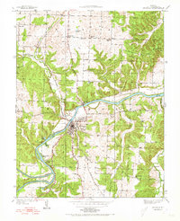
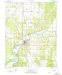
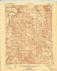
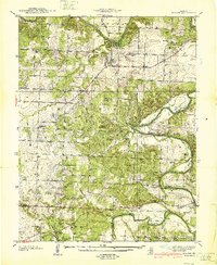
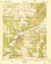
Editions of this 1939 Osceola Map
3 editions found
Other maps of this area

1886 · Stockton
USGS Topo · 1:125,000

1887 · Clinton
USGS Topo · 1:125,000

1894 · Clinton
USGS Topo · 1:125,000
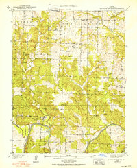
1938 · Monegaw Springs
USGS Topo · 1:24,000
1938 · Roscoe
USGS Topo · 1:24,000
1938 · Vista
USGS Topo · 1:24,000
1940 · Roscoe
USGS Topo · 1:24,000
1940 · Osceola
USGS Topo · 1:24,000
1940 · Vista
USGS Topo · 1:24,000
1940 · Monegaw Springs
USGS Topo · 1:24,000