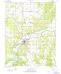
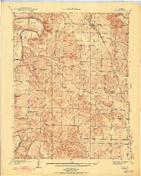
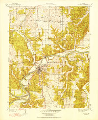
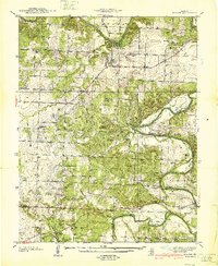
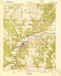
1939 Map of Osceola
USGS Topo · Published 1977About this map
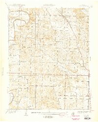
Osceola serves as the focal point of this 1930s survey, situated at the bend of the Osage River where it meets the St Louis San Francisco railway line. The landscape is defined by the river’s winding course, featuring local landmarks such as Walker Island, Lilleys Island, and the Rock of Ages Bluff. The settlement pattern reveals a transition from the town center to a more dispersed rural arrangement, supported by numerous small schoolhouses like Oak Grove Sch and McNutt Sch.
Find a feature on this map
44 named features on this map. Tap any name to fly to it.
Don’t see what you’re looking for? This feature index may not catch every label — zoom into the map to look around manually.
Map Details
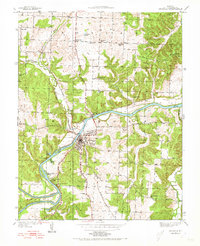
Editions of this 1939 Osceola Map
3 editions found
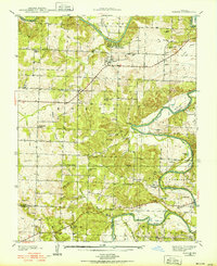
Other maps of this area

1886 · Stockton
USGS Topo · 1:125,000

1887 · Clinton
USGS Topo · 1:125,000

1894 · Clinton
USGS Topo · 1:125,000
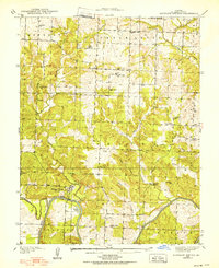
1938 · Monegaw Springs
USGS Topo · 1:24,000
1938 · Roscoe
USGS Topo · 1:24,000
1938 · Vista
USGS Topo · 1:24,000
1939 · Osceola
USGS Topo · 1:24,000
1940 · Roscoe
USGS Topo · 1:24,000
1940 · Osceola
USGS Topo · 1:24,000
1940 · Vista
USGS Topo · 1:24,000