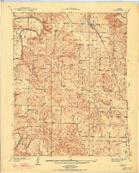
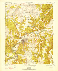
1939 Map of Osceola
USGS Topo · Published 1973About this map
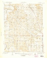
The Osage River dominates this 1930s landscape, winding through St. Clair County and anchoring the town of Osceola. This survey captures the river's pre-modern character, featuring prominent landmarks like the Dam and Rock of Ages Bluff alongside riverine features like Lilleys Island and Walker Island. The settlement pattern reflects a deeply rooted rural community, where the St. Louis-San Francisco railroad line parallels the river, connecting isolated outposts such as Damascus Store.
Find a feature on this map
45 named features on this map. Tap any name to fly to it.
Don’t see what you’re looking for? This feature index may not catch every label — zoom into the map to look around manually.
Map Details
Editions of this 1939 Osceola Map
3 editions found
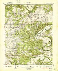
Other maps of this area

1886 · Stockton
USGS Topo · 1:125,000

1887 · Clinton
USGS Topo · 1:125,000

1894 · Clinton
USGS Topo · 1:125,000
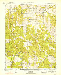
1938 · Monegaw Springs
USGS Topo · 1:24,000
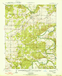
1938 · Roscoe
USGS Topo · 1:24,000
1938 · Vista
USGS Topo · 1:24,000
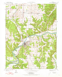
1939 · Osceola
USGS Topo · 1:24,000
1940 · Roscoe
USGS Topo · 1:24,000
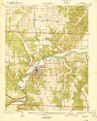
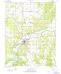
1940 · Osceola
USGS Topo · 1:24,000
1940 · Vista
USGS Topo · 1:24,000