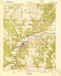
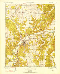
1940 Map of Osceola
USGS Topo · Published 1940About this map
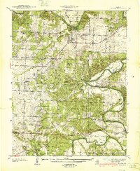
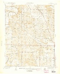
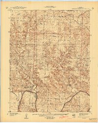
Osceola serves as the central hub of this 1930s survey, situated at a strategic bend where the Osage River meets the St Louis - San Francisco railway. The landscape is defined by the winding river valley and its numerous tributaries, including Gallinipper Creek and Turkey Creek, which carve through the terrain to create landmarks like Rock of Ages Bluff. The river's utility is evident at the Dam near the town center, while riverfront leisure is marked by locations such as Happy Hours Camp and Sunshine Beach Camp.
Find a feature on this map
47 named features on this map. Tap any name to fly to it.
Don’t see what you’re looking for? This feature index may not catch every label — zoom into the map to look around manually.
Map Details
Editions of this 1940 Osceola Map
This is the sole edition of this map. No revisions or reprints were ever made.
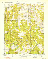
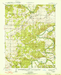
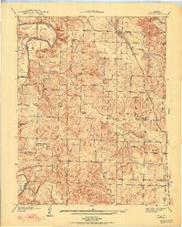
Other maps of this area

1886 · Stockton
USGS Topo · 1:125,000

1887 · Clinton
USGS Topo · 1:125,000

1894 · Clinton
USGS Topo · 1:125,000
1938 · Monegaw Springs
USGS Topo · 1:24,000
1938 · Roscoe
USGS Topo · 1:24,000
1938 · Vista
USGS Topo · 1:24,000
1939 · Osceola
USGS Topo · 1:24,000
1940 · Roscoe
USGS Topo · 1:24,000
1940 · Vista
USGS Topo · 1:24,000
1940 · Monegaw Springs
USGS Topo · 1:24,000