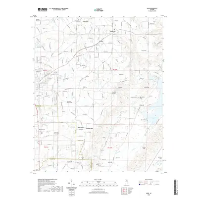
2020 Map of Arab
USGS Topo · Published 2020About this map
Brindley Mountain defines the northern reaches of this Marshall County landscape, where the Tennessee Valley Divide snakes through a complex network of ridges and hollows. The settlement of Arab sits at a critical junction of high ground, surrounded by smaller rural communities such as Scant City, Grassy, and Friendship. Historically significant landmarks include Johnsons Mill and Thrasher Crossroads, pointing to a legacy of local commerce and early transit routes.
Find a feature on this map
137 named features on this map. Tap any name to fly to it.
Don’t see what you’re looking for? This feature index may not catch every label — zoom into the map to look around manually.
Map Details
Editions of this 2020 Arab Map
This is the sole edition of this map. No revisions or reprints were ever made.
Other maps of this area

1885 · Gadsden
USGS Topo · 1:125,000

1888 · Cullman
USGS Topo · 1:125,000

1888 · Gadsden
USGS Topo · 1:125,000

1892 · Cullman
USGS Topo · 1:125,000

1892 · Gadsden
USGS Topo · 1:125,000

1895 · Gadsden
USGS Topo · 1:125,000

1903 · Gadsden
USGS Topo · 1:125,000

1936 · Guntersville
USGS Topo · 1:24,000

1936 · Guntersville Dam
USGS Topo · 1:24,000

1936 · Hulaco
USGS Topo · 1:24,000