2024 Map of Arab
USGS Topo · Published 2024About this map
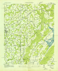
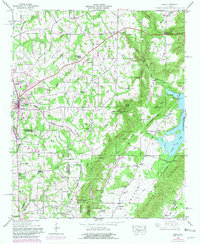
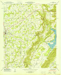
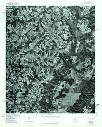
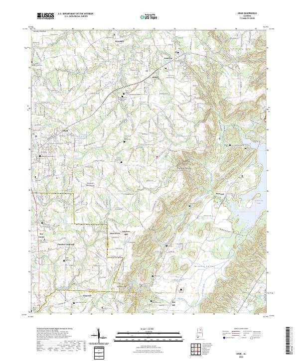
Arab and the surrounding Marshall County countryside are situated along the Tennessee Valley Divide, a landscape where northern plateau heights like Brindley Mountain and Georgia Mtn meet the deepening valleys of the south. This modern survey illustrates a complex network of rural communities and family landmarks, from Thrasher Crossroads to the historic site of Johnsons Mill on Warrior Creek. The density of cemeteries, including Bailey-Brown-Wilks Cem and the Noble Red Hill Cem, provides a detailed record of the area's genealogical footprint.
Find a feature on this map
228 named features on this map. Tap any name to fly to it.
Don’t see what you’re looking for? This feature index may not catch every label — zoom into the map to look around manually.
Map Details
Editions of this 2024 Arab Map
This is the sole edition of this map. No revisions or reprints were ever made.
Historical Maps of Scant City Through Time
5 maps found