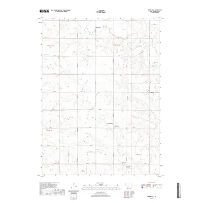
2018 Map of Arbor Hill
USGS Topo · Published 2018About this map
Arbor Hill and the small settlements of Hebron and Stanzel anchor this rural Adair County landscape, where the headwaters of several critical Iowa waterways converge. The terrain is deeply carved by the Middle River and the Thompson River, alongside smaller tributaries like Battle Cr and Marvel Cr. For genealogists and local historians, the map is a primary source for identifying family burial sites, including the Hebron Cem, Grand River Center Cem, Roberts Cem, and the Boley Farm Cem. The land is organized by a precise grid of rural roads such as Trenton Ave and York Ave, illustrating the enduring township and range system that has defined the agricultural layout of the region since its early settlement.
Find a feature on this map
38 named features on this map. Tap any name to fly to it.
Don’t see what you’re looking for? This feature index may not catch every label — zoom into the map to look around manually.
Map Details
Editions of this 2018 Arbor Hill Map
This is the sole edition of this map. No revisions or reprints were ever made.
Other maps of this area

1951 · Afton
USGS Topo · 1:62,500

1952 · Winterset
USGS Topo · 1:62,500

1954 · Greenfield
USGS Topo · 1:62,500

1954 · Omaha
USGS Topo · 1:250,000

1957 · Omaha
USGS Topo · 1:250,000

1958 · Omaha
USGS Topo · 1:250,000

1981 · Zion
USGS Topo · 1:24,000
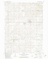
1981 · Orient
USGS Topo · 1:24,000
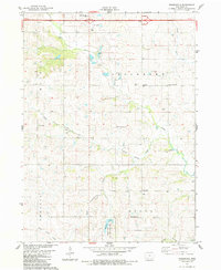
1983 · Rosserdale
USGS Topo · 1:24,000
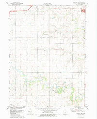
1983 · Earlham West
USGS Topo · 1:24,000