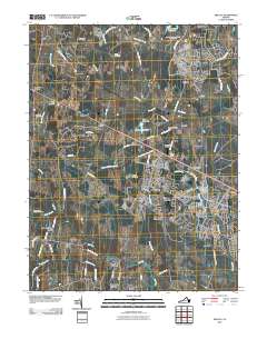
2010 Map of Arcola
USGS Topo · Published 2010About this map
Brambleton and South Riding anchor a landscape undergoing significant residential transition at the opening of the 21st century. While large planned communities dominate the eastern edge of the quadrangle, the western and central portions retain a network of older settlements and landmarks. Historic family burial grounds like Mount Zion Cemetery, Allen Cemetery, and Ish Family Cemetery are preserved amidst newer developments and farm properties.
Find a feature on this map
70 named features on this map. Tap any name to fly to it.
Don’t see what you’re looking for? This feature index may not catch every label — zoom into the map to look around manually.
Map Details
Editions of this 2010 Arcola Map
This is the sole edition of this map. No revisions or reprints were ever made.
Other maps of this area

1884 · Harpers Ferry
USGS Topo · 1:125,000

1890 · Mt. Vernon
USGS Topo · 1:125,000

1891 · Harpers Ferry
USGS Topo · 1:125,000

1891 · Mt. Vernon
USGS Topo · 1:125,000

1893 · Frederick
USGS Topo · 1:125,000

1893 · Harpers Ferry
USGS Topo · 1:125,000

1894 · Warrenton
USGS Topo · 1:125,000

1894 · Frederick
USGS Topo · 1:125,000

1894 · Mt. Vernon
USGS Topo · 1:125,000

1897 · Mt. Vernon
USGS Topo · 1:125,000