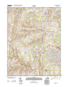
2013 Map of Arcola
USGS Topo · Published 2013About this map
Arcola and Brambleton anchor the eastern half of this Loudoun County landscape, reflecting the intensive residential development and planned community growth of the early 21st century. The map details a sophisticated network of parkways and residential loops, including Claiborne Pkwy and Loudoun Co Pkwy, which contrast with the older rural alignments of John Mosby Hwy. This era of transition is further evidenced by the survival of small private airfields like Glascock Airport and Smith Airport alongside modern recreational facilities such as the Brambleton Regional Park Golf Course. To the west, the terrain remains less densely developed, marked by the winding courses of Bull Run and S Fork Broad Run. Notable institutional landmarks include the State Prison Camp Number 26 near Hickory Grove Acres, while the northern edge is dominated by the waters of the Beaverdam Reservoir.
Find a feature on this map
145 named features on this map. Tap any name to fly to it.
Don’t see what you’re looking for? This feature index may not catch every label — zoom into the map to look around manually.
Map Details
Editions of this 2013 Arcola Map
This is the sole edition of this map. No revisions or reprints were ever made.
Other maps of this area

1884 · Harpers Ferry
USGS Topo · 1:125,000

1890 · Mt. Vernon
USGS Topo · 1:125,000

1891 · Harpers Ferry
USGS Topo · 1:125,000

1891 · Mt. Vernon
USGS Topo · 1:125,000

1893 · Frederick
USGS Topo · 1:125,000

1893 · Harpers Ferry
USGS Topo · 1:125,000

1894 · Warrenton
USGS Topo · 1:125,000

1894 · Frederick
USGS Topo · 1:125,000

1894 · Mt. Vernon
USGS Topo · 1:125,000

1897 · Mt. Vernon
USGS Topo · 1:125,000