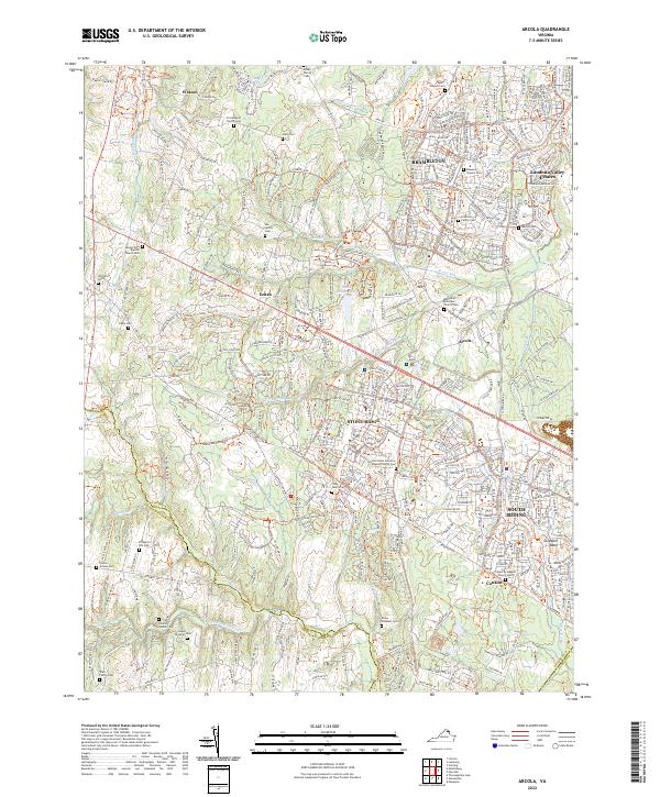
2022 Map of Arcola
USGS Topo · Published 2022About this map
Brambleton and South Riding anchor this 2022 survey of Loudoun County, reflecting a landscape where modern suburban expansion meets deep-rooted history. The area is punctuated by numerous family and church burial grounds, such as the First Baptist Church Cem near Watson and the Methodist Episcopal Church Cem in Arcola. These small, scattered sites like the Lee Family Cem and Gaines Brawner Cem offer a preserved link to the region's agricultural past, even as new residential developments and roads like Loudoun Co Pkwy redraw the map.
Find a feature on this map
205 named features on this map. Tap any name to fly to it.
Don’t see what you’re looking for? This feature index may not catch every label — zoom into the map to look around manually.
Map Details
Editions of this 2022 Arcola Map
This is the sole edition of this map. No revisions or reprints were ever made.
Other maps of this area

1884 · Harpers Ferry
USGS Topo · 1:125,000

1890 · Mt. Vernon
USGS Topo · 1:125,000

1891 · Harpers Ferry
USGS Topo · 1:125,000

1891 · Mt. Vernon
USGS Topo · 1:125,000

1893 · Frederick
USGS Topo · 1:125,000

1893 · Harpers Ferry
USGS Topo · 1:125,000

1894 · Warrenton
USGS Topo · 1:125,000

1894 · Frederick
USGS Topo · 1:125,000

1894 · Mt. Vernon
USGS Topo · 1:125,000

1897 · Mt. Vernon
USGS Topo · 1:125,000