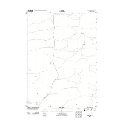
2011 Map of Argo Hill
USGS Topo · Published 2011About this map
The high plains of Sheridan County, Nebraska, are defined by a network of family-operated cattle ranches and subtle topographical rises. This 2011 survey illustrates the sparse, ranch-oriented settlement pattern of the region, where operations like Dukat Ranch, T Strasburger Ranch, and the several Hamilton family holdings are the primary landmarks across the landscape. The terrain transitions from the low-lying Highland Flats in the south to distinct local elevations such as Argo Hill, Lloyd Hill, and Morton Hill. Small, isolated water bodies including Bunger Lake and Star Lake provide critical resources in this arid environment. The map offers a clear view of the rural road system, including King Ranch Rd, which connects these remote outposts and historical ranching properties in the Sandhills region.
Find a feature on this map
18 named features on this map. Tap any name to fly to it.
Don’t see what you’re looking for? This feature index may not catch every label — zoom into the map to look around manually.
Map Details
Editions of this 2011 Argo Hill Map
This is the sole edition of this map. No revisions or reprints were ever made.
Other maps of this area

1948 · Bingham
USGS Topo · 1:62,500

1948 · Lakeside
USGS Topo · 1:62,500

1948 · Twin Lakes
USGS Topo · 1:62,500

1948 · Spade Ranch
USGS Topo · 1:62,500

1950 · Twin Lakes
USGS Topo · 1:62,500

1950 · Spade Ranch
USGS Topo · 1:62,500

1950 · Lakeside
USGS Topo · 1:62,500

1950 · Bingham
USGS Topo · 1:62,500

1955 · Alliance
USGS Topo · 1:250,000

1957 · Alliance
USGS Topo · 1:250,000