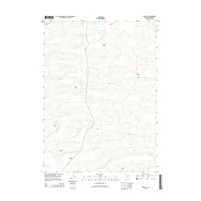
2014 Map of Argo Hill
USGS Topo · Published 2014About this map
Argo Hill and the surrounding high ground of Highland Flats dominate this section of Sheridan County, where the Sandhills landscape is defined by its subtle depressions and prominent rises. The terrain here reveals a pattern of isolated water bodies, such as Bunger Lake at the northern edge and Star Lake in the southwest, which punctuate the dry valleys. The geography is characterized by family-named landmarks like Lloyd Hill, Morton Hill, and Wolf Hill, suggesting a history of local landholding and grazing in a region where named features are sparse.
Find a feature on this map
17 named features on this map. Tap any name to fly to it.
Don’t see what you’re looking for? This feature index may not catch every label — zoom into the map to look around manually.
Map Details
Editions of this 2014 Argo Hill Map
This is the sole edition of this map. No revisions or reprints were ever made.
Other maps of this area

1948 · Bingham
USGS Topo · 1:62,500

1948 · Lakeside
USGS Topo · 1:62,500

1948 · Twin Lakes
USGS Topo · 1:62,500

1948 · Spade Ranch
USGS Topo · 1:62,500

1950 · Twin Lakes
USGS Topo · 1:62,500

1950 · Spade Ranch
USGS Topo · 1:62,500

1950 · Lakeside
USGS Topo · 1:62,500

1950 · Bingham
USGS Topo · 1:62,500

1955 · Alliance
USGS Topo · 1:250,000

1957 · Alliance
USGS Topo · 1:250,000