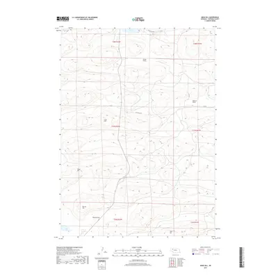
2017 Map of Argo Hill
USGS Topo · Published 2017About this map
Sandoz Grave Rd cuts across the northern edge of this Sheridan County landscape, where the Sandhills terrain is defined by its named rises and basins. The topography is marked by prominent elevations such as Argo Hill, Lloyd Hill, Morton Hill, and Wolf Hill, which stand above the more level stretches of the Highland Flats. These features, along with the broad depressions of Survey Valley and Wolford Valley, illustrate the typical wind-sculpted geography of the region.
Find a feature on this map
23 named features on this map. Tap any name to fly to it.
Don’t see what you’re looking for? This feature index may not catch every label — zoom into the map to look around manually.
Map Details
Editions of this 2017 Argo Hill Map
This is the sole edition of this map. No revisions or reprints were ever made.
Other maps of this area

1948 · Bingham
USGS Topo · 1:62,500

1948 · Lakeside
USGS Topo · 1:62,500

1948 · Twin Lakes
USGS Topo · 1:62,500

1948 · Spade Ranch
USGS Topo · 1:62,500

1950 · Twin Lakes
USGS Topo · 1:62,500

1950 · Spade Ranch
USGS Topo · 1:62,500

1950 · Lakeside
USGS Topo · 1:62,500

1950 · Bingham
USGS Topo · 1:62,500

1955 · Alliance
USGS Topo · 1:250,000

1957 · Alliance
USGS Topo · 1:250,000