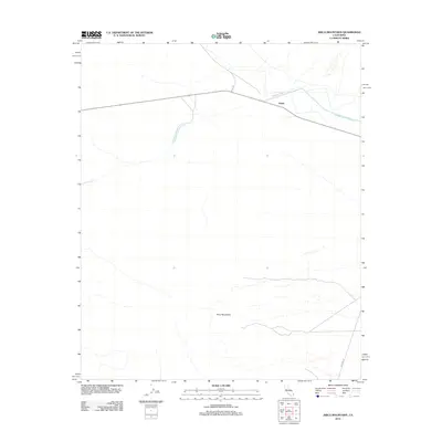
2012 Map of Arica Mountains
USGS Topo · Published 2012About this map
The settlement of Freda sits at a remote desert junction where the infrastructure of the American West crosses the arid landscape of San Bernardino County. This 2012 survey illustrates the critical water and transport corridors that define life in the Mojave, most notably the massive Colorado River Aqueduct as it cuts across the northern terrain. The infrastructure is shadowed by the rising peaks of the Arica Mountains to the south, which dominate the lower half of the quadrangle. Local transportation is anchored by the crossing of Cadiz Rd and Colorado River Rd, tracing historical routes through the desert. The map captures a high-desert environment defined by the contrast between engineered utility and the natural isolation of the basin-and-range topography.
Find a feature on this map
6 named features on this map. Tap any name to fly to it.
Don’t see what you’re looking for? This feature index may not catch every label — zoom into the map to look around manually.
Map Details
Editions of this 2012 Arica Mountains Map
This is the sole edition of this map. No revisions or reprints were ever made.
Other maps of this area

1942 · Blythe
USGS Topo · 1:250,000

1942 · Amboy
USGS Topo · 1:250,000

1943 · Amboy
USGS Topo · 1:250,000

1943 · Iron Mountains
USGS Topo · 1:62,500

1945 · Midland
USGS Topo · 1:62,500

1952 · Midland
USGS Topo · 1:62,500

1952 · Palen Mountains
USGS Topo · 1:62,500

1954 · Salton Sea
USGS Topo · 1:250,000

1954 · Needles
USGS Topo · 1:250,000

1954 · Rice
USGS Topo · 1:62,500