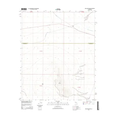
2015 Map of Arica Mountains
USGS Topo · Published 2015About this map
The Arica Mountains rise out of the desert floor, dominating the central landscape of this 2015 survey. To the west, the broad expanse of Ward Valley stretches across the terrain, illustrating the characteristic topography of the Mojave. This sheet captures a critical piece of California water infrastructure as the Colorado River Aqueduct traverses the northern portion of the quadrangle. The settlement of Freda sits along a major transportation corridor near the northern boundary, where desert travel is facilitated by Cadiz Rd. The map also delineates the jurisdictional boundary between San Bernardino Co and Riverside Co, providing a precise look at how these administrative lines intersect with the physical geography of the desert. Remote roadways like Midland Rd provide the only access through this arid landscape, connecting the mountains to the surrounding valley floor.
Find a feature on this map
13 named features on this map. Tap any name to fly to it.
Don’t see what you’re looking for? This feature index may not catch every label — zoom into the map to look around manually.
Map Details
Editions of this 2015 Arica Mountains Map
This is the sole edition of this map. No revisions or reprints were ever made.
Other maps of this area

1942 · Blythe
USGS Topo · 1:250,000

1942 · Amboy
USGS Topo · 1:250,000

1943 · Amboy
USGS Topo · 1:250,000

1943 · Iron Mountains
USGS Topo · 1:62,500

1945 · Midland
USGS Topo · 1:62,500

1952 · Midland
USGS Topo · 1:62,500

1952 · Palen Mountains
USGS Topo · 1:62,500

1954 · Salton Sea
USGS Topo · 1:250,000

1954 · Needles
USGS Topo · 1:250,000

1954 · Rice
USGS Topo · 1:62,500