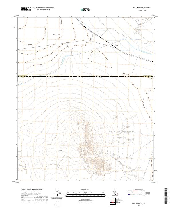
2021 Map of Arica Mountains
USGS Topo · Published 2021About this map
The Arica Mountains rise sharply between the desert floor of Ward Valley to the west and Rice Valley to the east. This 2021 survey of the California desert captures a landscape defined by significant infrastructure and natural relief. The Colorado River Aqueduct cuts a purposeful line across the northern reaches of the quadrangle, passing near the settlement of Freda. This massive engineering feat, alongside the path of Cadiz Rd, illustrates the intersection of human water management and the arid terrain. The map follows the boundary between San Bernardino and Riverside counties, tracing the southern end of the range where Midland Rd skirts the foothills. The land patterns recorded here reflect the vast, open character of these inland basins, where topographic contours reveal the complex drainages and alluvial fans surrounding the central peaks.
Find a feature on this map
13 named features on this map. Tap any name to fly to it.
Don’t see what you’re looking for? This feature index may not catch every label — zoom into the map to look around manually.
Map Details
Editions of this 2021 Arica Mountains Map
This is the sole edition of this map. No revisions or reprints were ever made.
Other maps of this area

1942 · Blythe
USGS Topo · 1:250,000

1942 · Amboy
USGS Topo · 1:250,000

1943 · Amboy
USGS Topo · 1:250,000

1943 · Iron Mountains
USGS Topo · 1:62,500

1945 · Midland
USGS Topo · 1:62,500

1952 · Midland
USGS Topo · 1:62,500

1952 · Palen Mountains
USGS Topo · 1:62,500

1954 · Salton Sea
USGS Topo · 1:250,000

1954 · Needles
USGS Topo · 1:250,000

1954 · Rice
USGS Topo · 1:62,500