Loading...
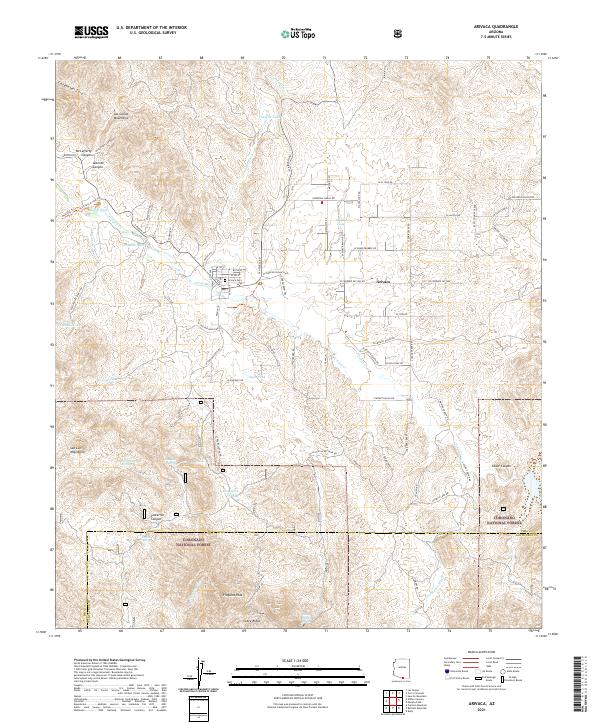
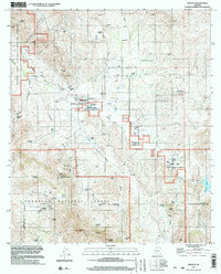
Loading map...2021 Map of Arivaca
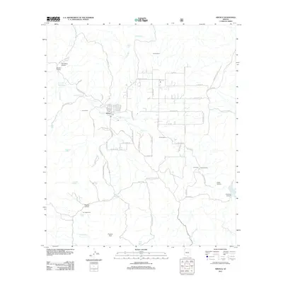
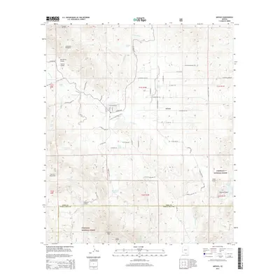
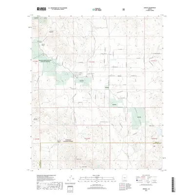
USGS Topo · Published 2021About this map
Arivaca serves as the central settlement in this high-desert landscape, where local life centers around the historic Arivaca Cem and the small grid of streets south of the Las Guijas Mountains. The region is defined by its diverse land management, including the expansive Buenos Aires National Wildlife Refuge and the rugged southern reaches of the Coronado National Forest near the Pima and Santa Cruz County line.
Find a feature on this map
86 named features on this map. Tap any name to fly to it.
Don’t see what you’re looking for? This feature index may not catch every label — zoom into the map to look around manually.
Map Details
Date Portrayed2021
Date Published2021
PublisherU.S. Geological Survey
Map TypeTopographic
Scale1:24,000
Physical Dimensions24 x 29 inches
Editions of this 2021 Arivaca Map
This is the sole edition of this map. No revisions or reprints were ever made.
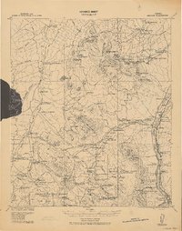
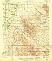
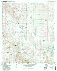
Historical Maps of Arivaca Through Time
9 maps found

Featured Locations
Source Details
SourceU.S. Geological Survey
CopyrightPublic Domain