
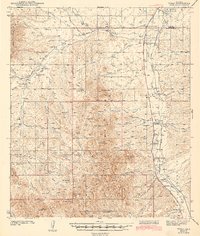
1943 Map of Tubac
USGS Topo · Published 1943About this map
The Santa Cruz River valley serves as the primary corridor for commerce and settlement in this 1939 survey of southern Arizona. The Southern Pacific railroad and Highway 89 parallel the river, connecting a string of communities including Amado, Tubac, and Carmen. At the heart of the valley lies the Tumacacori National Monument, marking the significant colonial-era footprint of the region. To the west, the landscape transitions into the cattle country of the Coronado National Forest, where isolated outposts like the Santa Lucia Ranch and "KX" Ranch appear alongside water sources such as Sardina Well and Moyza Well. The map captures the infrastructure of the early 20th-century ranching economy, from the Sopori Sch to the remote Cedar Dam, providing a detailed view of the rural life between the Cerro Colorado Mts and the river.
Find a feature on this map
71 named features on this map. Tap any name to fly to it.
Don’t see what you’re looking for? This feature index may not catch every label — zoom into the map to look around manually.
Map Details
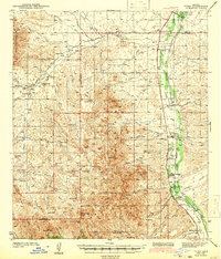
Editions of this 1943 Tubac Map
3 editions found
Other maps of this area

1904 · Patagonia
USGS Topo · 1:125,000

1905 · Patagonia
USGS Topo · 1:125,000

1905 · Nogales
USGS Topo · 1:125,000

1920 · Arivaca
USGS Topo · 1:125,000

1921 · Old Glory
USGS Topo · 1:125,000

1922 · Agus Caliente
USGS Topo · 1:62,500

1925 · Samaniego Peak
USGS Topo · 1:62,500

1926 · Helvetia
USGS Topo · 1:62,500

1933 · Calabasas
USGS Topo · 1:62,500

1939 · Twin Buttes
USGS Topo · 1:62,500