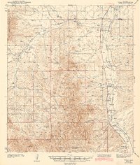
1943 Map of Tubac
USGS Topo · Published 1943About this map
Santa Cruz River valley life in the late 1930s is anchored by the historic mission grounds at Tumacacori National Monument and the established settlement of Tubac. This territory along the Southern Pacific railroad line shows a landscape defined by cattle ranching and early highway travel, with the Tucson-Nogales Highway following the river corridor north toward San Ignacio De La Canoa. Away from the valley floor, the terrain rises into the Coronado National Forest, where high points like Sardina Peak and Dicks Peak overlook a network of canyons and seasonal drainages. Local education and rural infrastructure are evidenced by the Sopori Sch near Sopori Wash and the Calabasas Sch to the south. Small family-named holdings such as Santa Lucia Ranch and Moyza Ranch appear alongside various wells and tanks, reflecting the vital importance of water management in this arid stretch of the borderlands.
Find a feature on this map
58 named features on this map. Tap any name to fly to it.
Don’t see what you’re looking for? This feature index may not catch every label — zoom into the map to look around manually.
Map Details
Editions of this 1943 Tubac Map
3 editions found

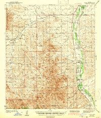
Other maps of this area

1904 · Patagonia
USGS Topo · 1:125,000

1905 · Patagonia
USGS Topo · 1:125,000

1905 · Nogales
USGS Topo · 1:125,000

1920 · Arivaca
USGS Topo · 1:125,000

1921 · Old Glory
USGS Topo · 1:125,000

1922 · Agus Caliente
USGS Topo · 1:62,500

1925 · Samaniego Peak
USGS Topo · 1:62,500

1926 · Helvetia
USGS Topo · 1:62,500

1933 · Calabasas
USGS Topo · 1:62,500

1939 · Twin Buttes
USGS Topo · 1:62,500