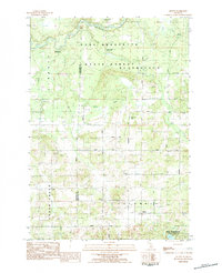
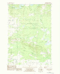
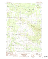
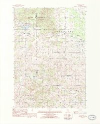
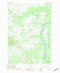
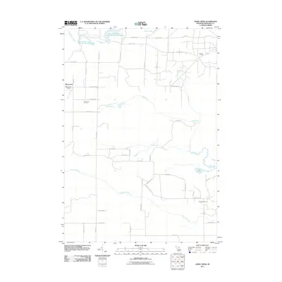
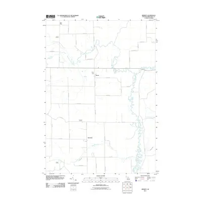
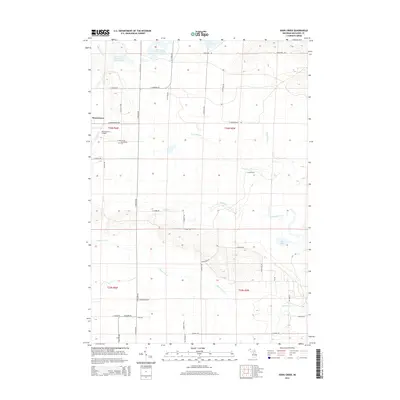
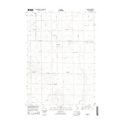
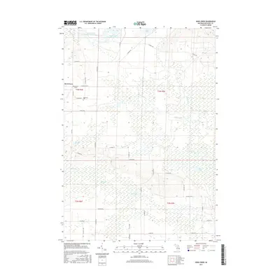
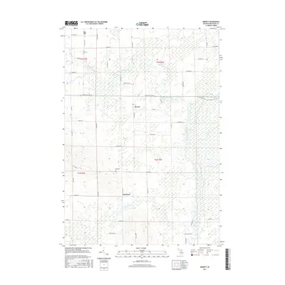
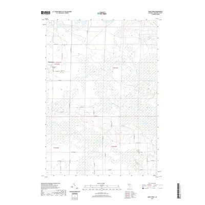
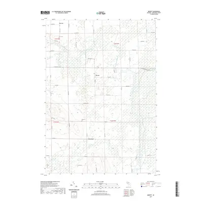
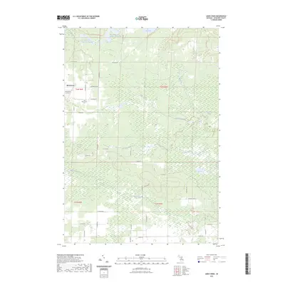
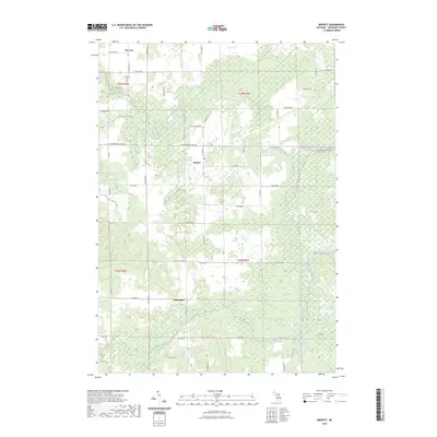
1983 Map of Arlene
USGS Topo · Published 1984About this map
Arlene and the surrounding townships of Bloomfield and Caldwell define this landscape in the early 1980s, where the Wexford and Missaukee county line marks a transition between public forest and rural farmland. The northern reaches are dominated by the Pere Marquette State Forest, carved by the Manistee River and its tributaries like Chase Creek and Hopkins Creek. This area serves as a recreational hub with the Chase Creek Campground and Hopkins Creek Trail Campground providing access to the river valley.
Find a feature on this map
31 named features on this map. Tap any name to fly to it.
Don’t see what you’re looking for? This feature index may not catch every label — zoom into the map to look around manually.
Map Details
Editions of this 1983 Arlene Map
This is the sole edition of this map. No revisions or reprints were ever made.
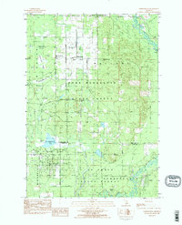
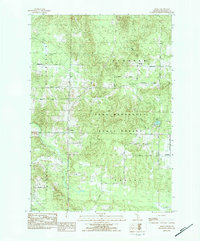
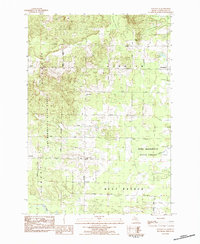
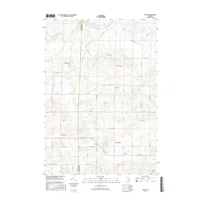
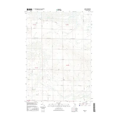
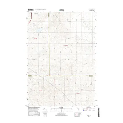
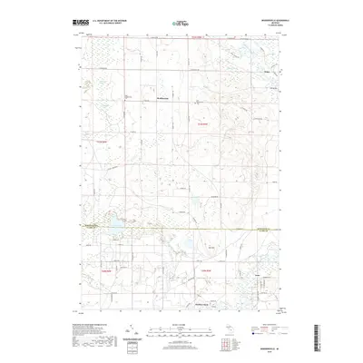
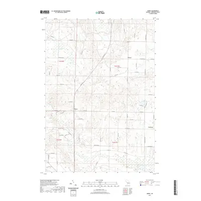
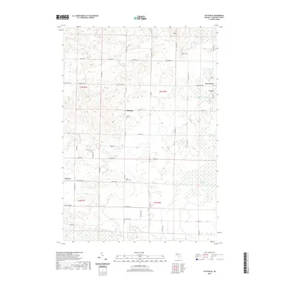
Historical Maps of Caldwell Township Through Time
48 maps found
1983 Addis Creek
Missaukee County, MI
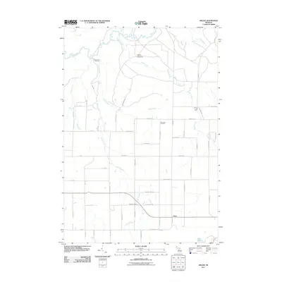
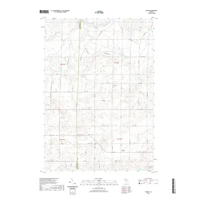
1983 Arlene
Missaukee County, MI
1983 Dinca
Missaukee County, MI
1983 Lucas
Missaukee County, MI
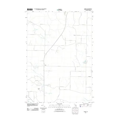
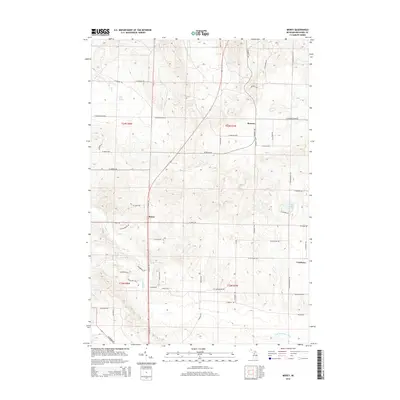
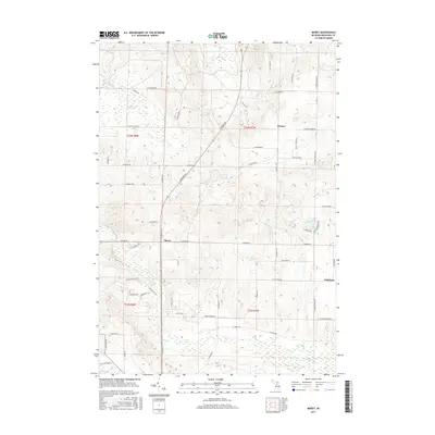
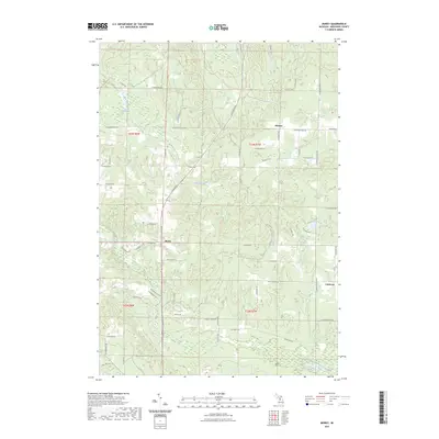
1983 Merritt
Missaukee County, MI
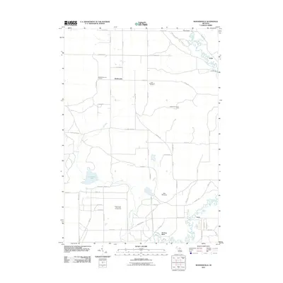
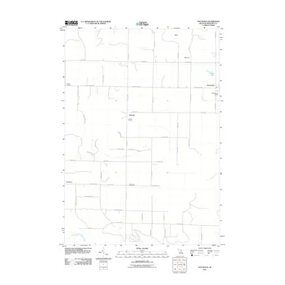
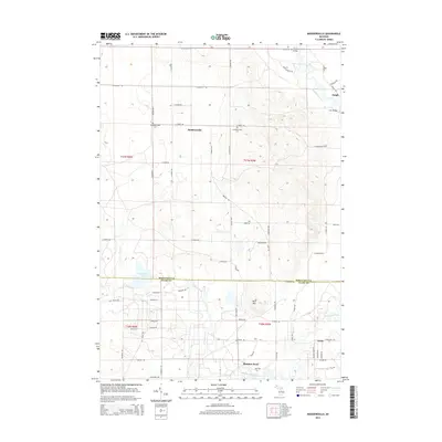
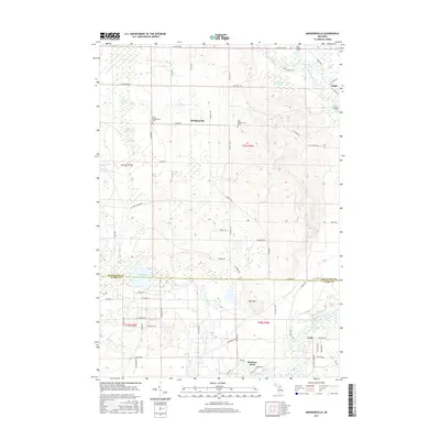
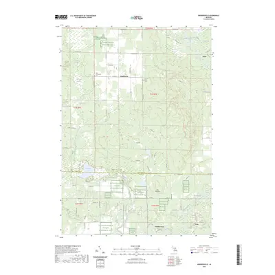
1983 Moddersville
Missaukee County, MI
1983 Morey
Missaukee County, MI
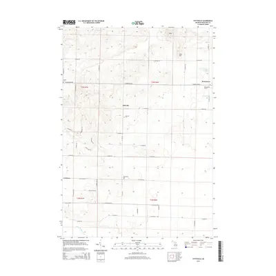
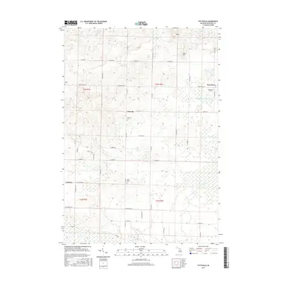
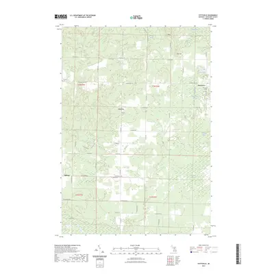
1983 Stittsville
Missaukee County, MI
2011 Addis Creek
Missaukee County, MI
2011 Arlene
Missaukee County, MI
2011 Dinca
Missaukee County, MI
2011 Lucas
Missaukee County, MI
2011 Merritt
Missaukee County, MI
2011 Moddersville
Missaukee County, MI
2011 Morey
Missaukee County, MI
2011 Stittsville
Missaukee County, MI
2014 Addis Creek
Missaukee County, MI
2014 Arlene
Missaukee County, MI
2014 Dinca
Missaukee County, MI
2014 Lucas
Missaukee County, MI
2014 Merritt
Missaukee County, MI
2014 Moddersville
Missaukee County, MI
2014 Morey
Missaukee County, MI
2014 Stittsville
Missaukee County, MI
2017 Addis Creek
Missaukee County, MI
2017 Arlene
Missaukee County, MI
2017 Dinca
Missaukee County, MI
2017 Lucas
Missaukee County, MI
2017 Merritt
Missaukee County, MI
2017 Moddersville
Missaukee County, MI
2017 Morey
Missaukee County, MI
2017 Stittsville
Missaukee County, MI
2019 Addis Creek
Missaukee County, MI
2019 Arlene
Missaukee County, MI
2019 Dinca
Missaukee County, MI
2019 Lucas
Missaukee County, MI
2019 Merritt
Missaukee County, MI
2019 Moddersville
Missaukee County, MI
2019 Morey
Missaukee County, MI
2019 Stittsville
Missaukee County, MI
2023 Addis Creek
Missaukee County, MI
2023 Arlene
Missaukee County, MI
2023 Dinca
Missaukee County, MI
2023 Lucas
Missaukee County, MI
2023 Merritt
Missaukee County, MI
2023 Moddersville
Missaukee County, MI
2023 Morey
Missaukee County, MI
2023 Stittsville
Missaukee County, MI
Featured Locations
- Liberty Township, MI
- Cedar Creek Township, MI
- Bloomfield Township, MI
- Caldwell Township, MI
- Arlene, Caldwell Township