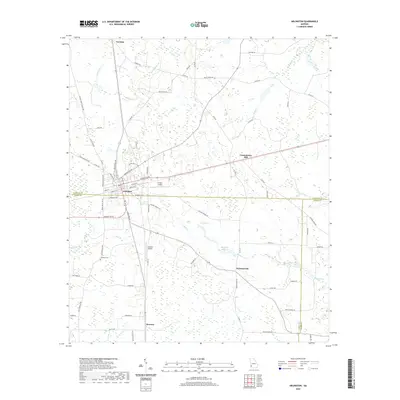
2020 Map of Arlington
USGS Topo · Published 2020About this map
Arlington serves as the central hub for this Southwest Georgia landscape, situated at the intersection of Calhoun and Early counties. The town's grid of residential streets, including Cedar St and Highland Ave S, gives way to a network of rural roads and scattered agricultural settlements like Nicholasville, Rowena, and Turman. The terrain is characterized by a high concentration of wetlands and water features, most notably Sheffield Millpond and several significant drainages like Boggy Cr and Mill Cr.
Find a feature on this map
77 named features on this map. Tap any name to fly to it.
Don’t see what you’re looking for? This feature index may not catch every label — zoom into the map to look around manually.
Map Details
Editions of this 2020 Arlington Map
This is the sole edition of this map. No revisions or reprints were ever made.
Other maps of this area

1953 · Dothan
USGS Topo · 1:250,000

1954 · Dothan
USGS Topo · 1:250,000

1955 · Dothan
USGS Topo · 1:250,000

1973 · Morgan
USGS Topo · 1:24,000

1973 · Bancroft
USGS Topo · 1:24,000

1973 · Edison
USGS Topo · 1:24,000
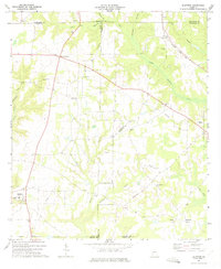
1973 · Bluffton
USGS Topo · 1:24,000

1973 · Hentown
USGS Topo · 1:24,000

1974 · Damascus
USGS Topo · 1:24,000

1974 · Arlington
USGS Topo · 1:24,000