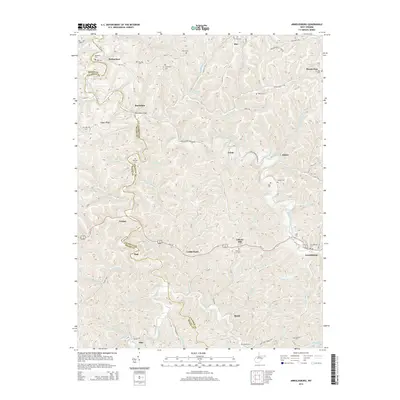
2014 Map of Arnoldsburg
USGS Topo · Published 2014About this map
The West Fork Little Kanawha River meanders through the heart of this landscape, carving a deep valley that defines the local geography. Small settlements and family hamlets such as Arnoldsburg, Rocksdale, and Hur are concentrated along the narrow bottomlands and primary creek drainages. The area is marked by a significant density of family and community burial grounds, including the Starcher Cem, Meadows Cem, and Husk Cem, which provide valuable location data for genealogical research in this portion of the West Virginia hills.
Find a feature on this map
107 named features on this map. Tap any name to fly to it.
Don’t see what you’re looking for? This feature index may not catch every label — zoom into the map to look around manually.
Map Details
Editions of this 2014 Arnoldsburg Map
This is the sole edition of this map. No revisions or reprints were ever made.
Other maps of this area

1906 · Otter
USGS Topo · 1:62,500

1906 · Walton
USGS Topo · 1:62,500

1907 · Otter
USGS Topo · 1:62,500

1907 · Arnoldsburg
USGS Topo · 1:62,500

1907 · Spencer
USGS Topo · 1:62,500

1907 · Walton
USGS Topo · 1:62,500

1925 · Arnoldsburg
USGS Topo · 1:62,500

1927 · Arnoldsburg
USGS Topo · 1:62,500

1928 · Spencer
USGS Topo · 1:62,500

1954 · Charleston
USGS Topo · 1:250,000