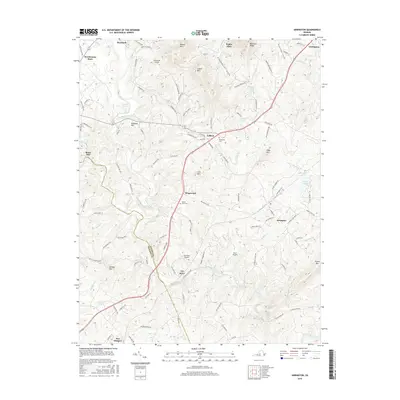
2016 Map of Arrington
USGS Topo · Published 2016About this map
The Tye River drainage basin defines this portion of Nelson County, where the Piedmont begins its transition toward the Blue Ridge. The landscape is characterized by a series of prominent peaks and ridges, including Cabell Mtn, Bryant Mtn, and Crits Mtn, which overlook a network of smaller settlements and agricultural crossroads. Local commerce and transit are anchored by communities such as Arrington, Colleen, and Roseland, with Hendersons Store serving as a distinct northern landmark. The area's topography is punctuated by several small airfields, including Flatwoods Airport, Tye River Airport, and Starr Airport, reflecting the region's reliance on localized aviation. Genealogical and local history points of interest include Woodland Cem and White Rock Cem, alongside namesake locations like Roses Mill and Diggs Mtn, which preserve the family names of the early residents of these valley corridors.
Find a feature on this map
116 named features on this map. Tap any name to fly to it.
Don’t see what you’re looking for? This feature index may not catch every label — zoom into the map to look around manually.
Map Details
Editions of this 2016 Arrington Map
This is the sole edition of this map. No revisions or reprints were ever made.
Other maps of this area

1892 · Buckingham
USGS Topo · 1:125,000

1894 · Lexington
USGS Topo · 1:125,000

1935 · Amherst
USGS Topo · 1:48,000

1936 · Vesuvius
USGS Topo · 1:48,000

1939 · Amherst
USGS Topo · 1:62,500

1941 · Vesuvius
USGS Topo · 1:62,500

1943 · Lovingston
USGS Topo · 1:62,500

1946 · Lovingston
USGS Topo · 1:62,500

1947 · Roanoke
USGS Topo · 1:250,000

1950 · Amherst
USGS Topo · 1:62,500