
1972 Map of Arroyo Alamocito
USGS Topo · Published 1975About this map
La Cinta Ranch sits in the northeast corner of this remote San Miguel County landscape, representative of the long-standing ranching operations that have defined this region for generations. The map reveals the deep, winding path of the Canadian River and Arroyo Alamocito, which carve through the high plains of the Mesas Negras. This 1970s survey captures a transition point in Western land use, showing traditional cattle-country infrastructure like the Sixty-Gallon Windmill and Black Mesa Windmill alongside more modern developments such as the Nix Landing Strip. The intricate network of jeep trails and unimproved roads, including the Frank Trail, highlights how land managers and ranchers navigated the steep elevation drops from the mesas to the canyon floors.
Find a feature on this map
1 named feature on this map. Tap any name to fly to it.
Don’t see what you’re looking for? This feature index may not catch every label — zoom into the map to look around manually.
Map Details
Editions of this 1972 Arroyo Alamocito Map
This is the sole edition of this map. No revisions or reprints were ever made.
Other maps of this area

1954 · Santa Fe
USGS Topo · 1:250,000

1958 · Santa Fe
USGS Topo · 1:250,000

1971 · Alamito
USGS Topo · 1:24,000

1971 · Canon Encierro
USGS Topo · 1:24,000

1972 · Montoya Point
USGS Topo · 1:24,000
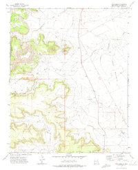
1972 · San Ramon
USGS Topo · 1:24,000
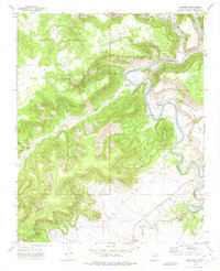
1972 · Sabinoso
USGS Topo · 1:24,000

1972 · Wade Canyon
USGS Topo · 1:24,000
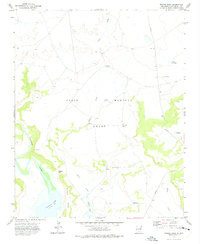
1972 · Minese Mesa
USGS Topo · 1:24,000
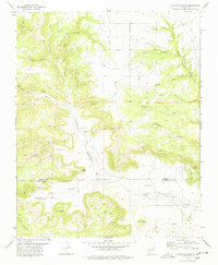
1978 · La Cinta Canyon
USGS Topo · 1:24,000