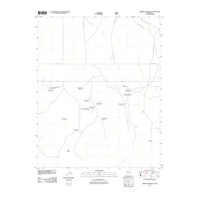
2011 Map of Arroyo Chijuillita
USGS Topo · Published 2011About this map
The Apache Indian Res boundary defines the northern portion of this landscape, where the seasonal waters of Arroyo Chijuillita wind through the high desert. This 2011 survey documents an extensive network of water management infrastructure, most notably the numerous reservoirs like Rio Puerco Detention Dam Number Four and Retention Dam Number 7 that dot the arid terrain. The map's topography is anchored by significant landforms including Mesa Chijuilla and Mesa de Cuba, which rise above the surrounding flats. Transportation in this part of Sandoval County relies on specific corridors such as Indian Service Route 22 and Indian Service Route 38. For aviation, the Cuba Landing Strip provides a critical point of access in this open country, illustrating the region's reliance on both specialized infrastructure and natural geography.
Find a feature on this map
20 named features on this map. Tap any name to fly to it.
Don’t see what you’re looking for? This feature index may not catch every label — zoom into the map to look around manually.
Map Details
Editions of this 2011 Arroyo Chijuillita Map
This is the sole edition of this map. No revisions or reprints were ever made.
Other maps of this area

1883 · Mt. Taylor
USGS Topo · 1:250,000

1886 · Mt. Taylor
USGS Topo · 1:250,000

1889 · Largo
USGS Topo · 1:250,000

1890 · Jemes
USGS Topo · 1:125,000

1892 · Jemes
USGS Topo · 1:125,000

1892 · Mt. Taylor
USGS Topo · 1:250,000

1895 · Largo
USGS Topo · 1:250,000

1899 · Mt. Taylor
USGS Topo · 1:250,000

1909 · Gallina
USGS Topo · 1:125,000

1939 · La Ventana
USGS Topo · 1:62,500