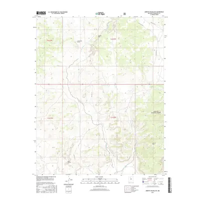
2017 Map of Arroyo Chijuillita
USGS Topo · Published 2017About this map
The Continental Divide winds through this high-altitude landscape of Sandoval County, defining the drainage patterns that shaped the local topography. This 2017 survey details a rugged intersection of mesas and drainage basins, most notably the expansive Mesa Chijuilla and Mesa de Cuba. The eponymous Arroyo Chijuillita carves a path through the central terrain, bordered by the distinctively eroded Badland Hills.
Find a feature on this map
15 named features on this map. Tap any name to fly to it.
Don’t see what you’re looking for? This feature index may not catch every label — zoom into the map to look around manually.
Map Details
Editions of this 2017 Arroyo Chijuillita Map
This is the sole edition of this map. No revisions or reprints were ever made.
Other maps of this area

1883 · Mt. Taylor
USGS Topo · 1:250,000

1886 · Mt. Taylor
USGS Topo · 1:250,000

1889 · Largo
USGS Topo · 1:250,000

1890 · Jemes
USGS Topo · 1:125,000

1892 · Jemes
USGS Topo · 1:125,000

1892 · Mt. Taylor
USGS Topo · 1:250,000

1895 · Largo
USGS Topo · 1:250,000

1899 · Mt. Taylor
USGS Topo · 1:250,000

1909 · Gallina
USGS Topo · 1:125,000

1939 · La Ventana
USGS Topo · 1:62,500