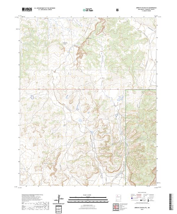
2023 Map of Arroyo Chijuillita
USGS Topo · Published 2023About this map
The Continental Divide winds through this Sandoval County landscape, defining a high-altitude wilderness where water and geology dictate the local geography. Erosion has sculpted the Badland Hills in the northern reaches, while the drainage of Arroyo Chijuillita serves as the primary hydrological spine of the region. The map reveals a land managed for both conservation and indigenous access, with the southwestern corner of the Santa Fe National Forest providing a backdrop for a complex network of forest trails and administrative roads.
Find a feature on this map
22 named features on this map. Tap any name to fly to it.
Don’t see what you’re looking for? This feature index may not catch every label — zoom into the map to look around manually.
Map Details
Editions of this 2023 Arroyo Chijuillita Map
This is the sole edition of this map. No revisions or reprints were ever made.
Other maps of this area

1883 · Mt. Taylor
USGS Topo · 1:250,000

1886 · Mt. Taylor
USGS Topo · 1:250,000

1889 · Largo
USGS Topo · 1:250,000

1890 · Jemes
USGS Topo · 1:125,000

1892 · Jemes
USGS Topo · 1:125,000

1892 · Mt. Taylor
USGS Topo · 1:250,000

1895 · Largo
USGS Topo · 1:250,000

1899 · Mt. Taylor
USGS Topo · 1:250,000

1909 · Gallina
USGS Topo · 1:125,000

1939 · La Ventana
USGS Topo · 1:62,500