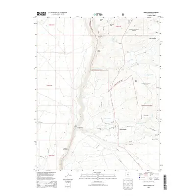
2013 Map of Arroyo Hondo
USGS Topo · Published 2013About this map
Arroyo Hondo and San Cristobal are prominent settlements in this high-desert landscape, where traditional water management systems like the Acequia de Atalaya and Llano Ditch reveal the enduring importance of communal irrigation. The deep incision of the Cañon del Rio Grande dominates the western portion of the map, featuring the Dunn Bridge crossing and the secluded Manby Hot Springs along the riverbank.
Find a feature on this map
50 named features on this map. Tap any name to fly to it.
Don’t see what you’re looking for? This feature index may not catch every label — zoom into the map to look around manually.
Map Details
Editions of this 2013 Arroyo Hondo Map
This is the sole edition of this map. No revisions or reprints were ever made.
Other maps of this area

1954 · Raton
USGS Topo · 1:250,000

1958 · Raton
USGS Topo · 1:250,000

1961 · Tres Orejas
USGS Topo · 1:24,000

1963 · Arroyo Seco
USGS Topo · 1:24,000

1963 · Arroyo Hondo
USGS Topo · 1:24,000

1963 · Tres Piedras NE
USGS Topo · 1:24,000

1963 · Cerro De Los Taoses
USGS Topo · 1:24,000

1963 · Questa
USGS Topo · 1:24,000

1963 · Guadalupe Mountain
USGS Topo · 1:24,000

1964 · Los Cordovas
USGS Topo · 1:24,000