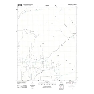
2011 Map of Arroyo Seco
USGS Topo · Published 2011About this map
Arroyo Seco and Valdez serve as the primary hubs of this landscape, situated along the complex drainage systems of the Rio Hondo and the watercourse for which the area is named. The distribution of ranching properties like Del Monte Ranch, Lawrence Ranch, and Lobo Hall suggests a long history of land tenure and agricultural development in this high-altitude region. Cultural and educational presence is anchored by a University of New Mexico site and the Kiowa Village settlement.
Find a feature on this map
60 named features on this map. Tap any name to fly to it.
Don’t see what you’re looking for? This feature index may not catch every label — zoom into the map to look around manually.
Map Details
Editions of this 2011 Arroyo Seco Map
This is the sole edition of this map. No revisions or reprints were ever made.
Other maps of this area

1954 · Raton
USGS Topo · 1:250,000

1958 · Raton
USGS Topo · 1:250,000

1963 · Wheeler Peak
USGS Topo · 1:24,000

1963 · Arroyo Seco
USGS Topo · 1:24,000

1963 · Arroyo Hondo
USGS Topo · 1:24,000

1963 · Questa
USGS Topo · 1:24,000

1963 · Guadalupe Mountain
USGS Topo · 1:24,000

1963 · Red River
USGS Topo · 1:24,000

1964 · Los Cordovas
USGS Topo · 1:24,000

1964 · Taos
USGS Topo · 1:24,000