
1932 Map of Arroyo Sequit
USGS Topo · Published 1932About this map
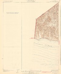
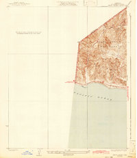
The Santa Monica Mountains meet the rugged coastline in this early 1930s topographical study of the Malibu region. The survey documents the area just as the modern coastal transport network was taking shape, dominated by the single line of the State Highway tracing the shoreline. Deep canyons and watercourses like Arroyo Sequit Creek, Willow Creek, and Nicholas Canyon cut through the elevation, providing a clear view of the natural drainage patterns into the Pacific Ocean before mid-century development. The boundary between Ventura Co and Los Angeles Co is clearly delineated across the high ridges, offering researchers a precise look at the jurisdictional and topographical layout of this coastal frontier during the Great Depression.
Find a feature on this map
10 named features on this map. Tap any name to fly to it.
Don’t see what you’re looking for? This feature index may not catch every label — zoom into the map to look around manually.
Map Details
Editions of this 1932 Arroyo Sequit Map
3 editions found
Other maps of this area

1900 · Triunfo Pass
USGS Topo · 1:62,500

1903 · Camulos
USGS Topo · 1:125,000

1904 · Hueneme
USGS Topo · 1:62,500

1921 · Triunfo Pass
USGS Topo · 1:62,500

1929 · Dume Point
USGS Topo · 1:24,000

1932 · Dume Point
USGS Topo · 1:24,000

1932 · Russell Valley
USGS Topo · 1:24,000

1942 · Hueneme
USGS Topo · 1:62,500

1943 · Hueneme
USGS Topo · 1:62,500
1943 · Triunfo Pass
USGS Topo · 1:62,500
Featured Places
- Malibu, CA
- South Beach, CA
- Unincorporated Santa Monica Mountains, CA
- Ventura County, CA
- Los Angeles County, CA