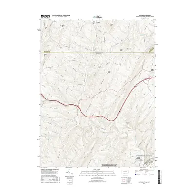
2016 Map of Artemas
USGS Topo · Published 2016About this map
Little Orleans and the surrounding Appalachian ridges form the center of this 2016 survey, situated where the Potomac River valley meets the rugged borderlands of Maryland, Pennsylvania, and West Virginia. The terrain is defined by parallel ridges such as Polish Mountain, Ragged Mountain, and Town Hill, which dictate the passage of historical travel routes. Significant among these is the National Pike, winding through Piney Grove toward the southern boundary. Along the Potomac, the Chesapeake and Ohio Canal National Historical Park preserves the legacy of nineteenth-century transportation engineering.
Find a feature on this map
105 named features on this map. Tap any name to fly to it.
Don’t see what you’re looking for? This feature index may not catch every label — zoom into the map to look around manually.
Map Details
Editions of this 2016 Artemas Map
This is the sole edition of this map. No revisions or reprints were ever made.
Other maps of this area

1898 · Paw Paw
USGS Topo · 1:62,500

1899 · Flintstone
USGS Topo · 1:62,500

1900 · Pawpaw
USGS Topo · 1:62,500

1900 · Flintstone
USGS Topo · 1:62,500

1910 · Paw Paw
USGS Topo · 1:62,500

1927 · Clearville
USGS Topo · 1:48,000

1927 · Hyndman
USGS Topo · 1:62,500

1931 · Clearville
USGS Topo · 1:62,500

1931 · Hyndman
USGS Topo · 1:62,500

1944 · Hyndman
USGS Topo · 1:62,500