
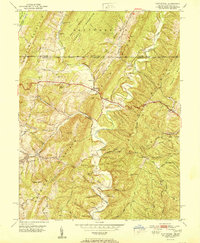
1900 Map of Flintstone
USGS Topo · Published 1900About this map
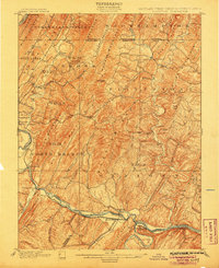
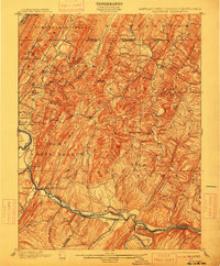
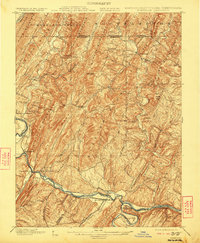
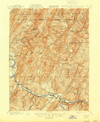
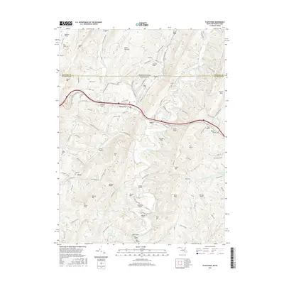
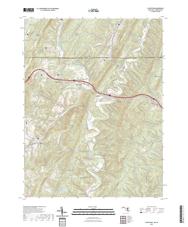
Potomac River geography dominates this 1900 survey of the tri-state border region, where the Maryland panhandle meets West Virginia and Pennsylvania. The map captures a critical transportation corridor along the river bend at Oldtown, where the Chesapeake and Ohio Canal and major rail lines like the B. & O. R. R. follow the water's path. The landscape is defined by the repetitive, parallel ridges of the Alleghenies, including Wills Mountain, Evitts Mountain, and Warrior Ridge, which forced early settlement and industry into narrow valleys.
Find a feature on this map
81 named features on this map. Tap any name to fly to it.
Don’t see what you’re looking for? This feature index may not catch every label — zoom into the map to look around manually.
Map Details
Editions of this 1900 Flintstone Map
6 editions found

Historical Maps of Cumberland Through Time
9 maps found

1899 Flintstone
Allegany County, MD
1900 Flintstone
Allegany County, MD
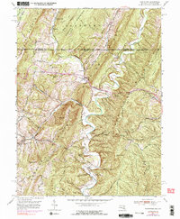
1950 Flintstone
Allegany County, MD
1951 Flintstone
Allegany County, MD
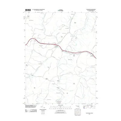
2011 Flintstone
Allegany County, MD
2014 Flintstone
Allegany County, MD
2016 Flintstone
Allegany County, MD
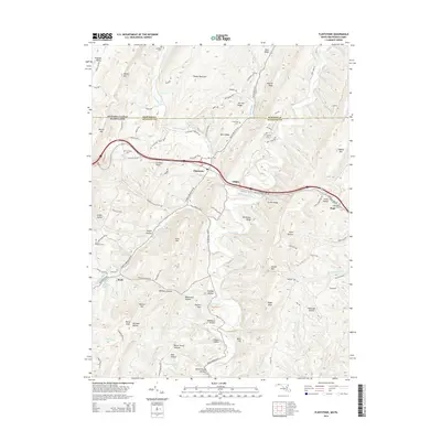
2019 Flintstone
Allegany County, MD
2023 Flintstone
Allegany County, MD