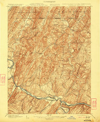
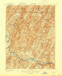
1900 Map of Flintstone
USGS Topo · Published 1922About this map
Potomac River valley life at the turn of the century is defined here by the parallel transport corridors of the C. & O. Canal and the Baltimore and Ohio Railroad. This 1898 survey traces the complex industrial and transit network through the Appalachian ridges, where the Penna. R. R. and several turnpikes navigated the gaps between Evitts Mountain and Warrior Mountain.
Find a feature on this map
71 named features on this map. Tap any name to fly to it.
Don’t see what you’re looking for? This feature index may not catch every label — zoom into the map to look around manually.
Map Details
Editions of this 1900 Flintstone Map
6 editions found
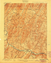
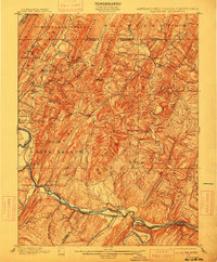
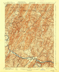
Other maps of this area

1891 · Romney
USGS Topo · 1:125,000

1894 · Winchester
USGS Topo · 1:125,000

1898 · Frostburg
USGS Topo · 1:62,500

1898 · Paw Paw
USGS Topo · 1:62,500

1899 · Flintstone
USGS Topo · 1:62,500

1900 · Pawpaw
USGS Topo · 1:62,500

1900 · Flintstone
USGS Topo · 1:62,500

1901 · Frostburg
USGS Topo · 1:62,500

1908 · Frostburg
USGS Topo · 1:62,500

1910 · Paw Paw
USGS Topo · 1:62,500