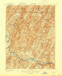
1900 Map of Flintstone
USGS Topo · Published 1944About this map
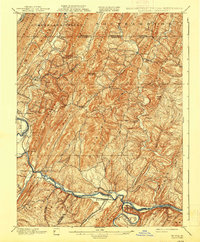
Evitts Mountain and Warrior Mountain dominate this late nineteenth-century landscape, where the ridges of the Appalachians dictated the movement of goods and people. Along the southern edge, the Potomac River corridor serves as the primary artery for transportation, featuring the parallel paths of the C. & O. Canal and the B. & O. R. R.. This infrastructure supported communities like Oldtown and Greenspring, while smaller mountain settlements such as Flintstone and Twiggstown relied on turnpikes and local creeks. The presence of Wolfe Mill and Cooks Mills highlights the local river-based industry of the era. The map also captures the complex intersection of state and county lines, including the Pennsylvania Maryland boundary and the Allegany Co. Hampshire Co. border, marking the convergence of three states.
Find a feature on this map
78 named features on this map. Tap any name to fly to it.
Don’t see what you’re looking for? This feature index may not catch every label — zoom into the map to look around manually.
Map Details
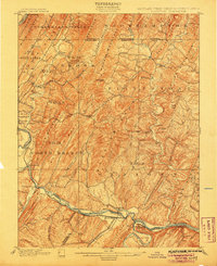
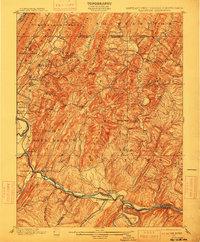
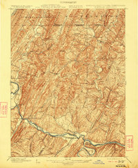
Editions of this 1900 Flintstone Map
6 editions found
Other maps of this area

1891 · Romney
USGS Topo · 1:125,000

1894 · Winchester
USGS Topo · 1:125,000

1898 · Frostburg
USGS Topo · 1:62,500

1898 · Paw Paw
USGS Topo · 1:62,500

1899 · Flintstone
USGS Topo · 1:62,500

1900 · Pawpaw
USGS Topo · 1:62,500

1900 · Flintstone
USGS Topo · 1:62,500

1901 · Frostburg
USGS Topo · 1:62,500

1908 · Frostburg
USGS Topo · 1:62,500

1910 · Paw Paw
USGS Topo · 1:62,500