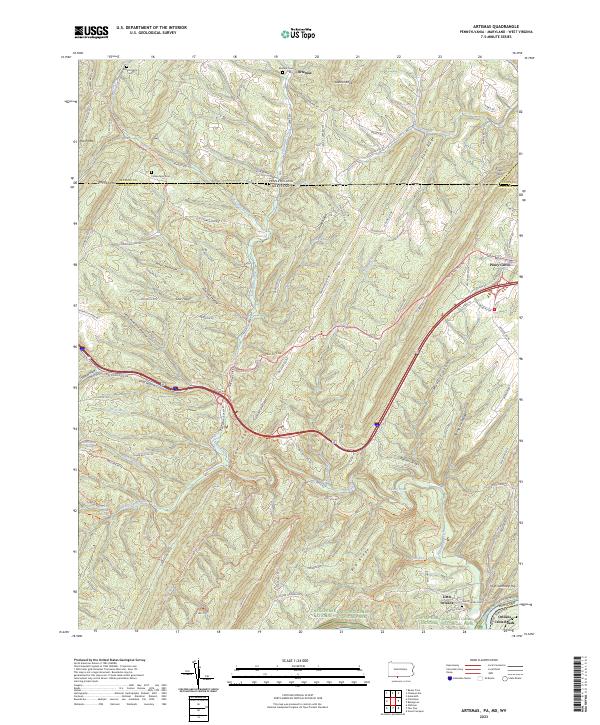
2023 Map of Artemas
USGS Topo · Published 2023About this map
Artemas sits along the northern edge of this Pennsylvania and Maryland borderland, where the terrain is defined by the steep parallel ridges of Polish Mtn and Town Hill. The landscape reflects a history of isolated valley farming and mountain transport, centered around the winding course of Fifteenmile Creek and the southern corridor of the National Pike. Near the southern border, the village of Little Orleans marks a significant historical transit point along the Chesapeake and Ohio Canal, now preserved within the Chesapeake and Ohio Canal National Historical Park. Genealogists will find several family and community burial grounds throughout the ridges, including Mount Hope Cem and the Collins Farm Cem. The map captures a topography of deep hollows like Kifer Hollow and Mudlick Hollow, illustrating the rural character of the Potomac River watershed as it crosses into Orleans Cross Roads, West Virginia.
Find a feature on this map
105 named features on this map. Tap any name to fly to it.
Don’t see what you’re looking for? This feature index may not catch every label — zoom into the map to look around manually.
Map Details
Editions of this 2023 Artemas Map
This is the sole edition of this map. No revisions or reprints were ever made.
Other maps of this area

1898 · Paw Paw
USGS Topo · 1:62,500

1899 · Flintstone
USGS Topo · 1:62,500

1900 · Pawpaw
USGS Topo · 1:62,500

1900 · Flintstone
USGS Topo · 1:62,500

1910 · Paw Paw
USGS Topo · 1:62,500

1927 · Clearville
USGS Topo · 1:48,000

1927 · Hyndman
USGS Topo · 1:62,500

1931 · Clearville
USGS Topo · 1:62,500

1931 · Hyndman
USGS Topo · 1:62,500

1944 · Hyndman
USGS Topo · 1:62,500