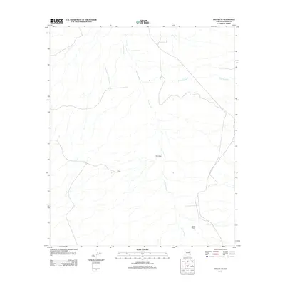
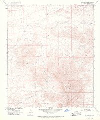
2011 Map of Artesia NE
USGS Topo · Published 2011About this map
San Simon River defines the drainage patterns of this arid landscape in eastern Graham County, carving a central path through a territory marked by ephemeral washes and rugged desert draws. The 2011 survey reveals a sparsely populated terrain where cattle-ranching legacy is hinted at by isolated structures like Rock House. This environment is characterized by wide alluvial features such as Slick Rock Wash and Oak Draw, which demonstrate how seasonal water flow has historically dictated movement and land use in the high desert. The map provides a precise view of the geographic intersections between natural erosion and limited human infrastructure, including Cove Draw in the southeast corner.
Find a feature on this map
5 named features on this map. Tap any name to fly to it.
Don’t see what you’re looking for? This feature index may not catch every label — zoom into the map to look around manually.
Map Details
Editions of this 2011 Artesia NE Map
This is the sole edition of this map. No revisions or reprints were ever made.
Other maps of this area

1954 · Silver City
USGS Topo · 1:250,000

1958 · Silver City
USGS Topo · 1:250,000

1960 · Guthrie
USGS Topo · 1:62,500

1960 · Safford
USGS Topo · 1:62,500

1962 · Silver City
USGS Topo · 1:250,000
1966 · Tanque
USGS Topo · 1:24,000
1966 · Artesia NE
USGS Topo · 1:24,000

1966 · Artesia
USGS Topo · 1:24,000
1966 · Javelina Peak
USGS Topo · 1:24,000
1966 · Dry Mountain
USGS Topo · 1:24,000