
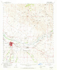
1960 Map of Safford
USGS Topo · Published 1961About this map
The Gila River valley serves as the central artery for this 1960 topographic study, revealing a complex network of irrigation that supports the agricultural life of the Gila Valley. A series of engineered waterways, including the Montezuma Canal, Union Canal, and Highline Canal, branch off the river to hydrate the surrounding fields. The regional hub of Safford is shown in detail alongside neighboring Thatcher and Hollywood, while the Southern Pacific railroad provides a vital transportation link parallel to the river.
Find a feature on this map
84 named features on this map. Tap any name to fly to it.
Don’t see what you’re looking for? This feature index may not catch every label — zoom into the map to look around manually.
Map Details
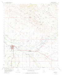
Editions of this 1960 Safford Map
3 editions found
Other maps of this area

1902 · Clifton
USGS Topo · 1:62,500

1913 · Morenci
USGS Topo · 1:125,000

1915 · Morenci
USGS Topo · 1:125,000

1942 · Mt. Graham
USGS Topo · 1:62,500

1945 · Mt. Graham
USGS Topo · 1:62,500

1954 · Silver City
USGS Topo · 1:250,000

1954 · Clifton
USGS Topo · 1:250,000

1957 · Clifton
USGS Topo · 1:250,000

1958 · Silver City
USGS Topo · 1:250,000

1958 · Clifton
USGS Topo · 1:250,000