Loading...
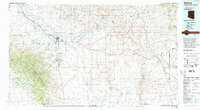
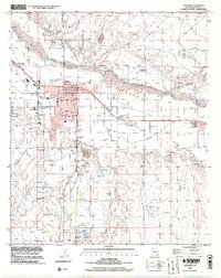
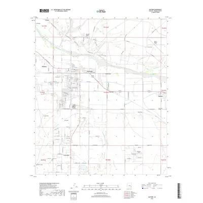
Loading map...1960 Map of Safford
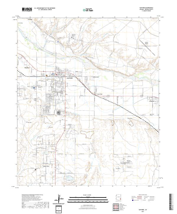
USGS Topo · Published 1980About this map
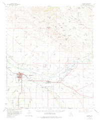
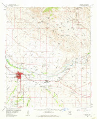
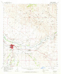
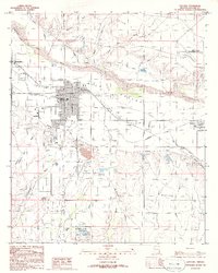
The Gila River valley anchors this 1960 survey, revealing a landscape defined by irrigation and the Southern Pacific railroad. The hub of Safford serves as a regional center, surrounded by the smaller communities of Thatcher, Solomon, and San Jose. The agricultural character of the Gila Valley is evident in the dense network of irrigation features like the Brown Canal and several gaging stations.
Find a feature on this map
90 named features on this map. Tap any name to fly to it.
Don’t see what you’re looking for? This feature index may not catch every label — zoom into the map to look around manually.
Map Details
Date Portrayed1960
Date Published1980
PublisherU.S. Geological Survey
Map TypeTopographic
Scale1:62,500
Physical Dimensions17.2 x 21.1 inches
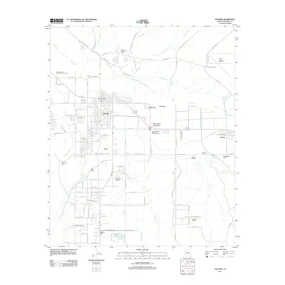
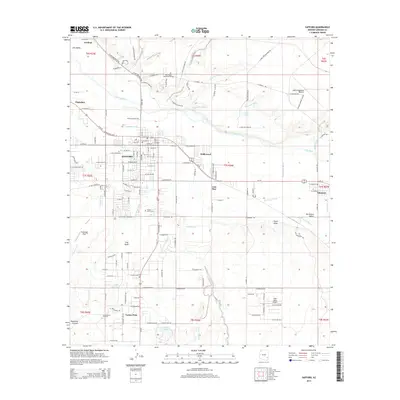
Editions of this 1960 Safford Map
3 editions found
Historical Maps of Safford Through Time
8 maps found
Featured Locations
Source Details
SourceU.S. Geological Survey
CopyrightPublic Domain