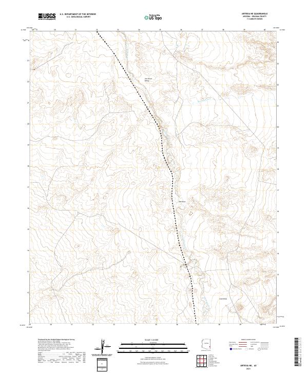
2021 Map of Artesia NE
USGS Topo · Published 2021About this map
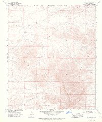
San Simon Valley dominates this landscape, characterized by the winding path of the San Simon River as it traverses the desert terrain of Graham County. The geography is defined by a network of drainage features, including the aptly named Slick Rock Wash and the depressions of Oak Draw and Cove Draw. These natural corridors dictate the movement of water across the arid basin, reflecting a landscape shaped by seasonal flow and desert hydrology. While the map is sparse of modern structures, the detailed township and range boundaries, such as t8s r27e and t9s r28e, provide a precise grid for local history researchers and genealogists seeking to pin down family land holdings or early homestead locations in this part of Arizona.
Find a feature on this map
9 named features on this map. Tap any name to fly to it.
Don’t see what you’re looking for? This feature index may not catch every label — zoom into the map to look around manually.
Map Details
Editions of this 2021 Artesia NE Map
This is the sole edition of this map. No revisions or reprints were ever made.
Other maps of this area

1954 · Silver City
USGS Topo · 1:250,000

1958 · Silver City
USGS Topo · 1:250,000

1960 · Guthrie
USGS Topo · 1:62,500

1960 · Safford
USGS Topo · 1:62,500

1962 · Silver City
USGS Topo · 1:250,000
1966 · Tanque
USGS Topo · 1:24,000
1966 · Artesia NE
USGS Topo · 1:24,000

1966 · Artesia
USGS Topo · 1:24,000
1966 · Javelina Peak
USGS Topo · 1:24,000
1966 · Dry Mountain
USGS Topo · 1:24,000