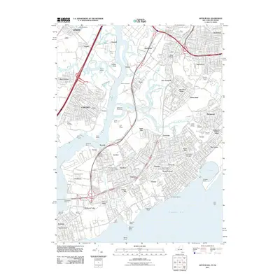
2011 Map of Arthur Kill
USGS Topo · Published 2011About this map
Arthur Kill serves as the industrial and geographical spine of this maritime corridor, separating the industrial reaches of Linden and Carteret in New Jersey from the residential and marshy landscapes of Staten Island. The map documents a complex landscape where infrastructure and history collide, from the sprawling Fresh Kills Landfill to the New York City Farm Colony. Notable for genealogists are the numerous burial grounds, including the Baron Hirsch Cemetery and United Hebrew Cemetery. The Staten Island Railroad connects a string of South Shore communities such as Great Kills, Annadale, and Tottenville, while the Outerbridge Crossing provides a vital link to the mainland. Waterways like Richmond Creek and Fresh Kills snake through the interior, reflecting the area's transition from marshland to suburban development and heavy industry.
Find a feature on this map
88 named features on this map. Tap any name to fly to it.
Don’t see what you’re looking for? This feature index may not catch every label — zoom into the map to look around manually.
Map Details
Editions of this 2011 Arthur Kill Map
This is the sole edition of this map. No revisions or reprints were ever made.
Other maps of this area

1888 · Plainfield
USGS Topo · 1:62,500

1888 · New Brunswick
USGS Topo · 1:62,500

1888 · Sandy Hook
USGS Topo · 1:62,500

1893 · New Brunswick
USGS Topo · 1:62,500

1893 · Plainfield
USGS Topo · 1:62,500

1893 · Sandy Hook
USGS Topo · 1:62,500

1898 · Plainfield
USGS Topo · 1:62,500

1898 · Staten Island
USGS Topo · 1:62,500

1900 · Passaic
USGS Topo · 1:125,000

1900 · Staten Island
USGS Topo · 1:62,500