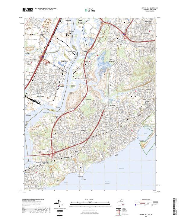
2023 Map of Arthur Kill
USGS Topo · Published 2023About this map
The Arthur Kill waterway serves as the industrial and geographic divide between New Jersey and New York on this modern survey. On the western shore, the New Jersey industrial corridor includes the Linden airport and the refineries of Grasselli and Carteret, while the eastern shore is dominated by the southwestern neighborhoods of Staten Island. The landscape here is a complex intersection of heavy industry, such as the Port Reading rail facilities, and significant ecological preservation areas like the Gateway National Recreation Area and the Island of Meadows.
Find a feature on this map
92 named features on this map. Tap any name to fly to it.
Don’t see what you’re looking for? This feature index may not catch every label — zoom into the map to look around manually.
Map Details
Editions of this 2023 Arthur Kill Map
This is the sole edition of this map. No revisions or reprints were ever made.
Other maps of this area

1888 · Plainfield
USGS Topo · 1:62,500

1888 · New Brunswick
USGS Topo · 1:62,500

1888 · Sandy Hook
USGS Topo · 1:62,500

1893 · New Brunswick
USGS Topo · 1:62,500

1893 · Plainfield
USGS Topo · 1:62,500

1893 · Sandy Hook
USGS Topo · 1:62,500

1898 · Plainfield
USGS Topo · 1:62,500

1898 · Staten Island
USGS Topo · 1:62,500

1900 · Passaic
USGS Topo · 1:125,000

1900 · Staten Island
USGS Topo · 1:62,500