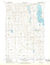
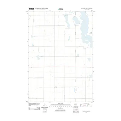
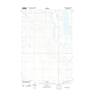
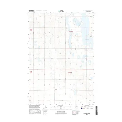
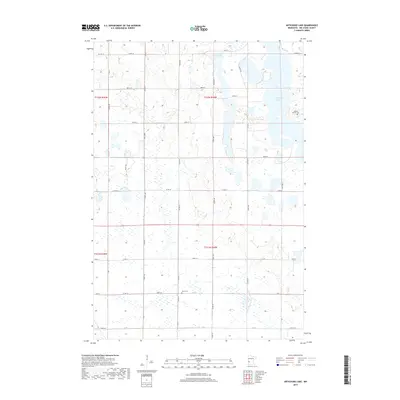
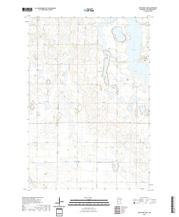
1968 Map of Artichoke Lake
USGS Topo · Published 1970About this map
Artichoke Lake and Long Lake dominate this prairie landscape in Big Stone County, reflecting a region defined by its glacial hydrology and agricultural heritage. The 1968 field check reveals a transition toward conservation, as seen in the establishment of the Klages State Wildlife Management Areas and several sections of the National Wildlife Management Area. These protected zones intermingle with a strictly surveyed grid of rural roads and drainage systems like County Ditch No 2. Local history and genealogy are anchored by landmarks such as the Akron Cem and a Townhall located near the shore of Artichoke Lake. Small-scale resource extraction is visible through scattered Gravel Pits, while the presence of a second Cem further south highlights the dispersed settlement pattern of Akron and Artichoke townships during the late 1960s.
Find a feature on this map
13 named features on this map. Tap any name to fly to it.
Don’t see what you’re looking for? This feature index may not catch every label — zoom into the map to look around manually.
Map Details
Editions of this 1968 Artichoke Lake Map
This is the sole edition of this map. No revisions or reprints were ever made.
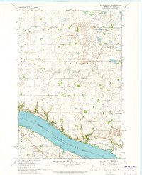
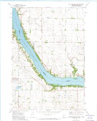
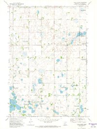
Historical Maps of Big Stone County Through Time
24 maps found
1968 Artichoke Lake
Big Stone County, MN
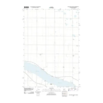
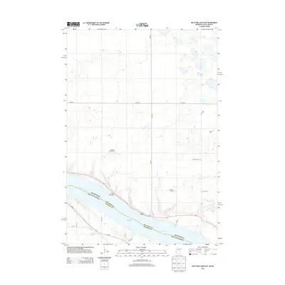
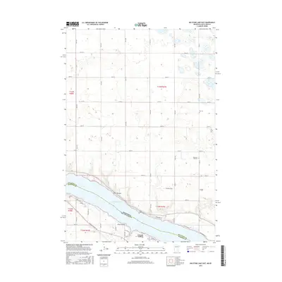
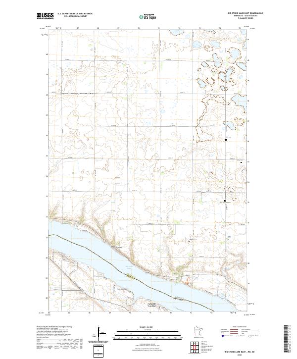
1971 Big Stone Lake East
Big Stone County, MN
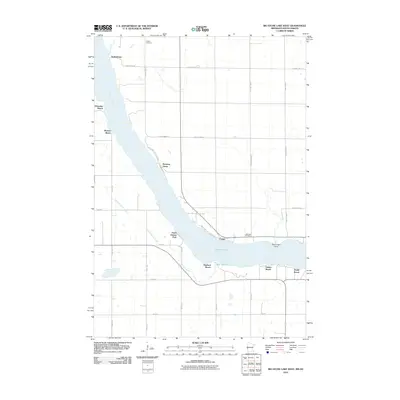
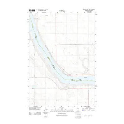
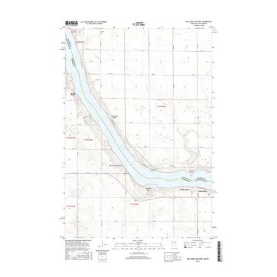
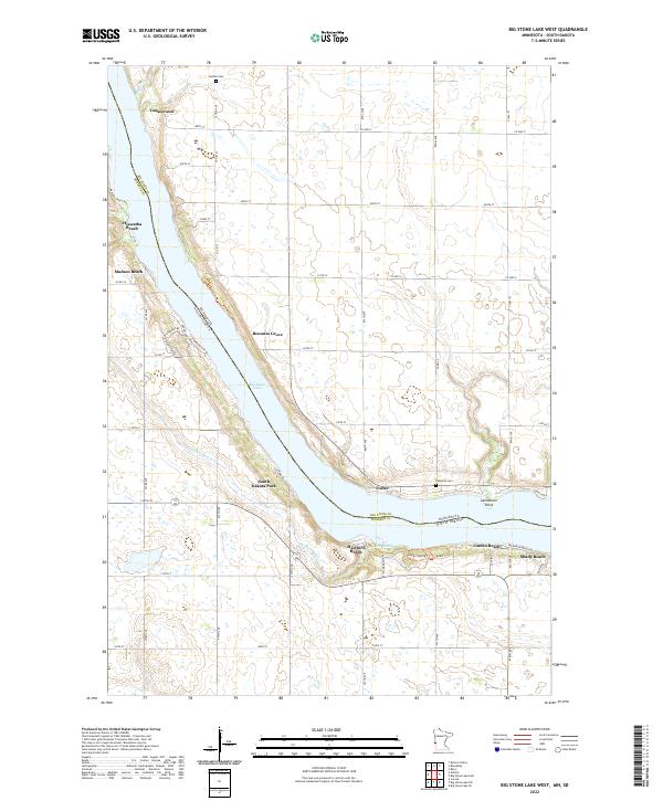
1971 Big Stone Lake West
Big Stone County, MN
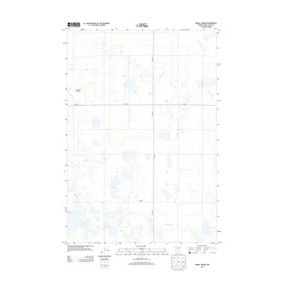
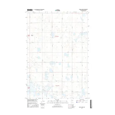
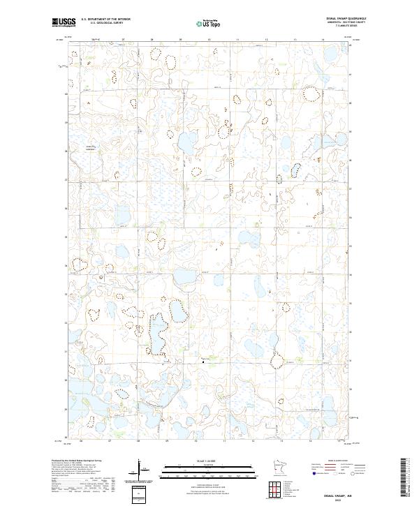
1971 Dismal Swamp
Big Stone County, MN
2010 Artichoke Lake
Big Stone County, MN
2010 Big Stone Lake East
Big Stone County, MN
2010 Big Stone Lake West
Big Stone County, MN
2010 Dismal Swamp
Big Stone County, MN
2013 Artichoke Lake
Big Stone County, MN
2013 Big Stone Lake East
Big Stone County, MN
2013 Big Stone Lake West
Big Stone County, MN
2013 Dismal Swamp
Big Stone County, MN
2016 Artichoke Lake
Big Stone County, MN
2016 Big Stone Lake East
Big Stone County, MN
2016 Big Stone Lake West
Big Stone County, MN
2016 Dismal Swamp
Big Stone County, MN
2019 Artichoke Lake
Big Stone County, MN
2019 Big Stone Lake East
Big Stone County, MN
2019 Big Stone Lake West
Big Stone County, MN
2019 Dismal Swamp
Big Stone County, MN
2022 Artichoke Lake
Big Stone County, MN
2022 Big Stone Lake East
Big Stone County, MN
2022 Big Stone Lake West
Big Stone County, MN
2022 Dismal Swamp
Big Stone County, MN