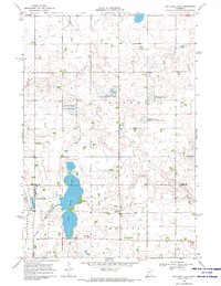
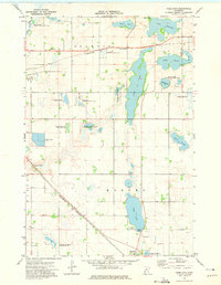
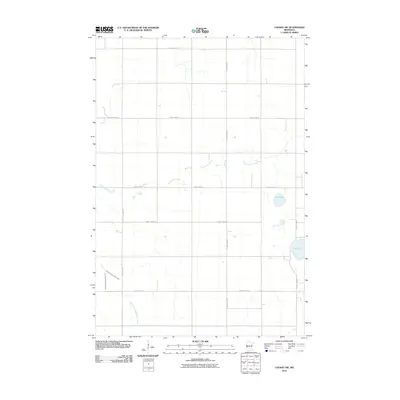
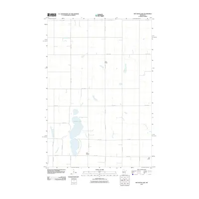
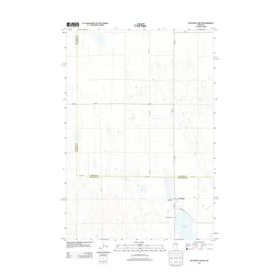
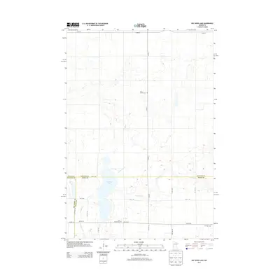
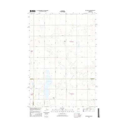
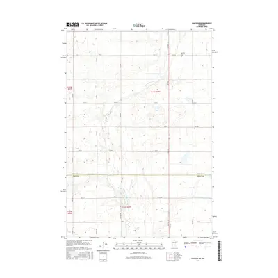
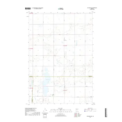
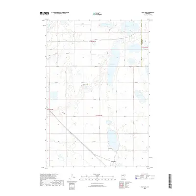
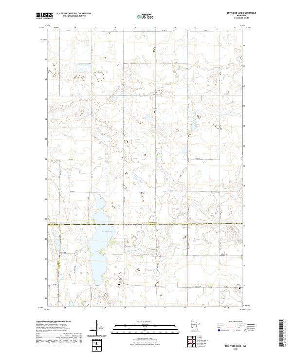
1968 Map of Dry Wood Lake
USGS Topo · Published 1970About this map
The prairie wetlands of western Minnesota are defined by water and wildlife conservation in this late 1960s survey. The landscape is dominated by the sprawling Dry Wood Lake, which sits at the convergence of several townships and counties. This area serves as a significant ecological corridor, evidenced by the numerous protected zones such as the Dablow State Wildlife Management Area, Reimers State Wildlife Management Area, and multiple tracts of National Wildlife Management Area.
Find a feature on this map
19 named features on this map. Tap any name to fly to it.
Don’t see what you’re looking for? This feature index may not catch every label — zoom into the map to look around manually.
Map Details
Editions of this 1968 Dry Wood Lake Map
This is the sole edition of this map. No revisions or reprints were ever made.
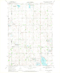
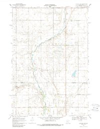
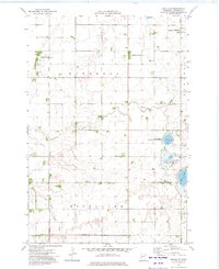
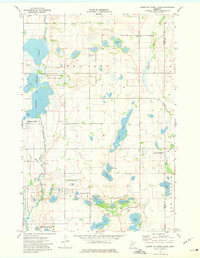
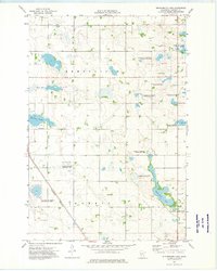
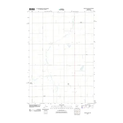
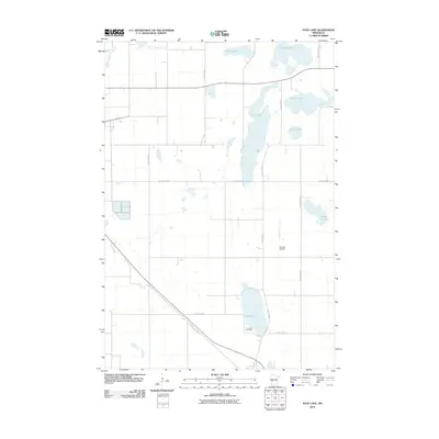
Historical Maps of Big Stone County Through Time
42 maps found
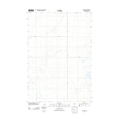
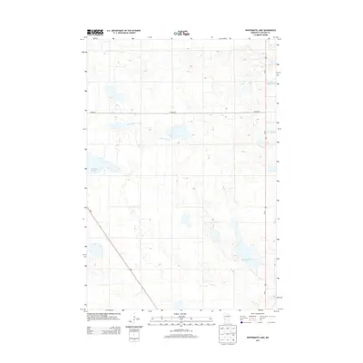
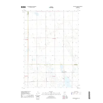
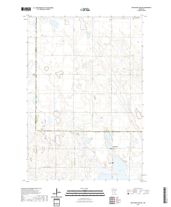
1968 Artichoke Lake NW
Stevens County, MN
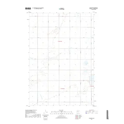
1968 Dry Wood Lake
Stevens County, MN
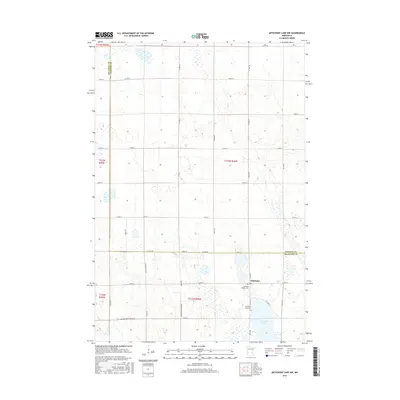
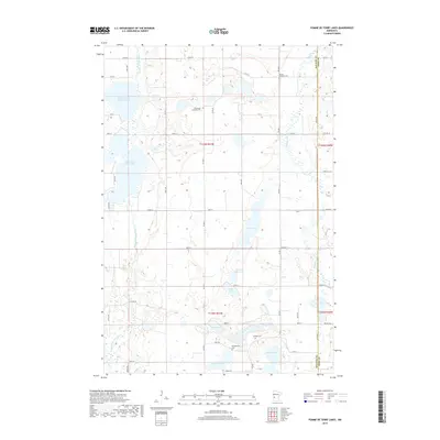
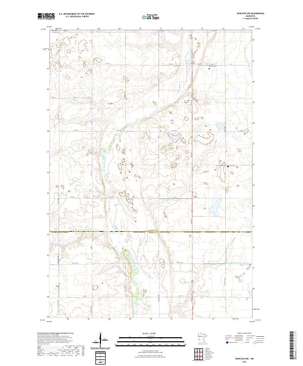
1968 Hancock NW
Stevens County, MN
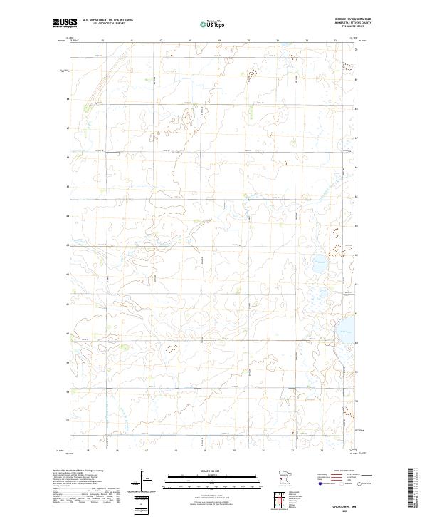
1973 Chokio NW
Stevens County, MN
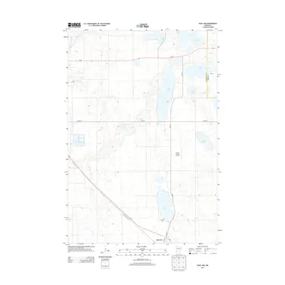
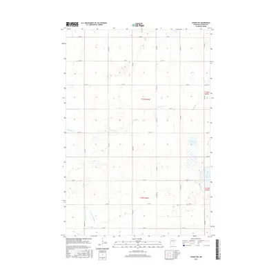
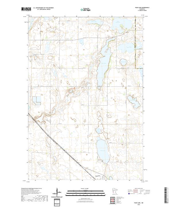
1973 Page Lake
Stevens County, MN
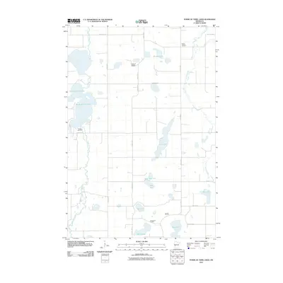
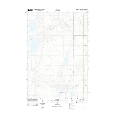
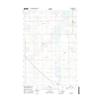
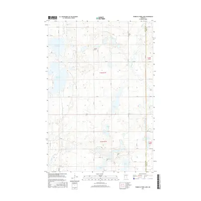
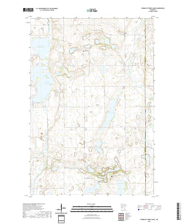
1973 Pomme De Terre Lakes
Stevens County, MN
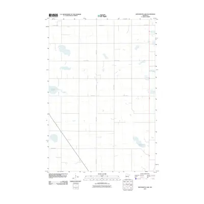
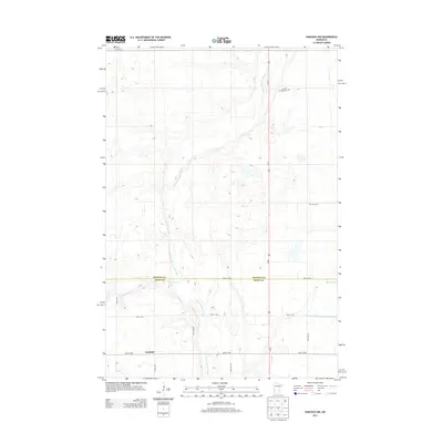
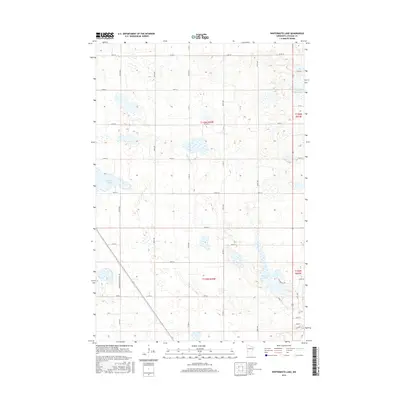
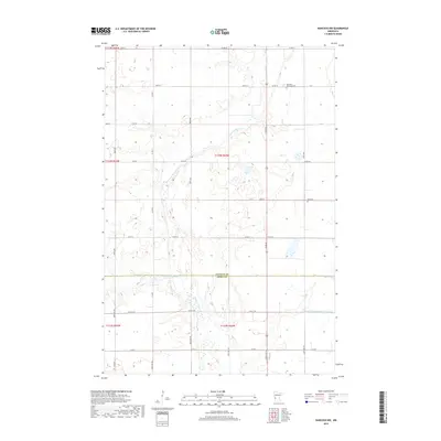
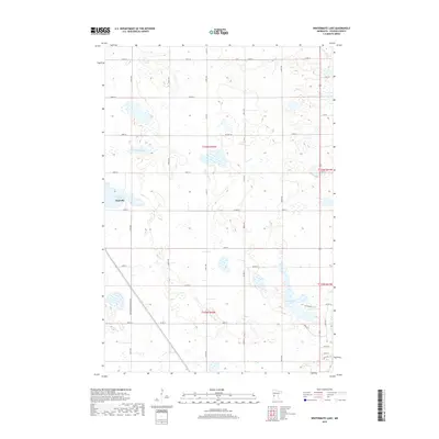
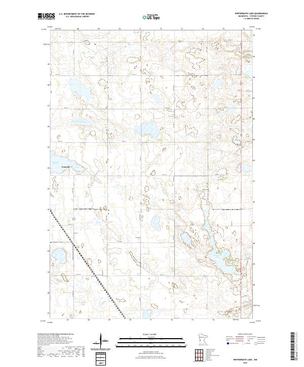
1973 Wintermute Lake
Stevens County, MN
2010 Artichoke Lake NW
Stevens County, MN
2010 Chokio NW
Stevens County, MN
2010 Dry Wood Lake
Stevens County, MN
2010 Hancock NW
Stevens County, MN
2010 Page Lake
Stevens County, MN
2010 Pomme De Terre Lakes
Stevens County, MN
2010 Wintermute Lake
Stevens County, MN
2013 Artichoke Lake NW
Stevens County, MN
2013 Chokio NW
Stevens County, MN
2013 Dry Wood Lake
Stevens County, MN
2013 Hancock NW
Stevens County, MN
2013 Page Lake
Stevens County, MN
2013 Pomme De Terre Lakes
Stevens County, MN
2013 Wintermute Lake
Stevens County, MN
2016 Artichoke Lake NW
Stevens County, MN
2016 Chokio NW
Stevens County, MN
2016 Dry Wood Lake
Stevens County, MN
2016 Hancock NW
Stevens County, MN
2016 Page Lake
Stevens County, MN
2016 Pomme De Terre Lakes
Stevens County, MN
2016 Wintermute Lake
Stevens County, MN
2019 Artichoke Lake NW
Stevens County, MN
2019 Chokio NW
Stevens County, MN
2019 Dry Wood Lake
Stevens County, MN
2019 Hancock NW
Stevens County, MN
2019 Page Lake
Stevens County, MN
2019 Pomme De Terre Lakes
Stevens County, MN
2019 Wintermute Lake
Stevens County, MN
2022 Artichoke Lake NW
Stevens County, MN
2022 Chokio NW
Stevens County, MN
2022 Dry Wood Lake
Stevens County, MN
2022 Hancock NW
Stevens County, MN
2022 Page Lake
Stevens County, MN
2022 Pomme De Terre Lakes
Stevens County, MN
2022 Wintermute Lake
Stevens County, MN