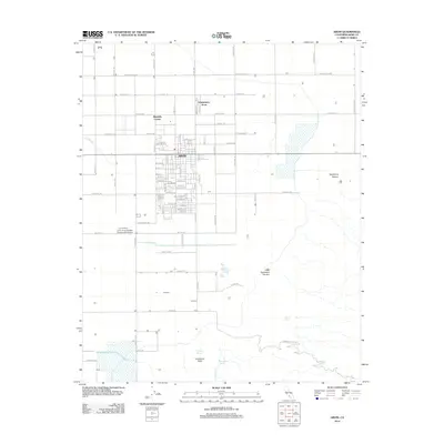
2012 Map of Arvin
USGS Topo · Published 2012About this map
The city of Arvin serves as the central hub of this agricultural landscape in the southern San Joaquin Valley, where the grid of orchards and fields meets the rising foothills of the Tehachapi Mountains. To the north and west, the terrain is dominated by a precise network of roads and irrigation infrastructure, including the East Side Canal and the J and J Crop Dusters Incorporated Airport, which support the regional farming economy. Smaller residential nodes like Mitchells Corner and Edmundson Acres are situated among the larger tracts of land.
Find a feature on this map
80 named features on this map. Tap any name to fly to it.
Don’t see what you’re looking for? This feature index may not catch every label — zoom into the map to look around manually.
Map Details
Editions of this 2012 Arvin Map
This is the sole edition of this map. No revisions or reprints were ever made.
Other maps of this area
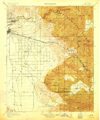
1914 · Caliente
USGS Topo · 1:125,000
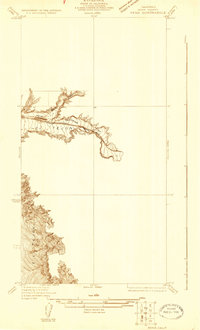
1929 · Bena
USGS Topo · 1:31,680
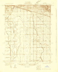
1929 · Fairfax School
USGS Topo · 1:31,680
1930 · Weed Patch
USGS Topo · 1:31,680
1930 · Bear Mountain
USGS Topo · 1:31,680
1930 · Arvin
USGS Topo · 1:31,680
1931 · West of Tejon Hills
USGS Topo · 1:31,680
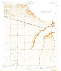
1931 · Edison
USGS Topo · 1:31,680
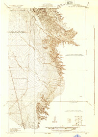
1931 · Tejon Hills
USGS Topo · 1:31,680
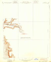
1932 · Bena
USGS Topo · 1:31,680