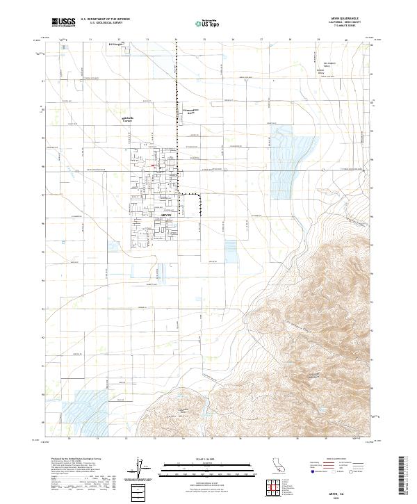
2021 Map of Arvin
USGS Topo · Published 2021About this map
Agricultural development meets the steep ascent of the Tehachapi Mountains in this survey of the southern San Joaquin Valley. The city of Arvin serves as the primary hub, surrounded by smaller community clusters like Mitchells Corner, Edmundson Acres, and the historically significant Di Giorgio area. The landscape transitions sharply from the irrigated flatlands fed by the E Side Canal to the arid, complex topography of the Tejon Hills. This map documents the intricate grid of county roads, such as Bear Mountain Blvd and Tejon Hwy, that support the region's vast orchards and fields. To the southeast, the terrain rises toward Comanche Point, where the drainage of Little Sycamore Canyon and natural water sources like Amargo Springs and Comanche Spring punctuate the foothills before the mountains reach their higher elevations.
Find a feature on this map
87 named features on this map. Tap any name to fly to it.
Don’t see what you’re looking for? This feature index may not catch every label — zoom into the map to look around manually.
Map Details
Editions of this 2021 Arvin Map
This is the sole edition of this map. No revisions or reprints were ever made.
Other maps of this area

1914 · Caliente
USGS Topo · 1:125,000

1929 · Bena
USGS Topo · 1:31,680

1929 · Fairfax School
USGS Topo · 1:31,680

1930 · Weed Patch
USGS Topo · 1:31,680

1930 · Bear Mountain
USGS Topo · 1:31,680

1930 · Arvin
USGS Topo · 1:31,680

1931 · West of Tejon Hills
USGS Topo · 1:31,680

1931 · Edison
USGS Topo · 1:31,680

1931 · Tejon Hills
USGS Topo · 1:31,680

1932 · Bena
USGS Topo · 1:31,680